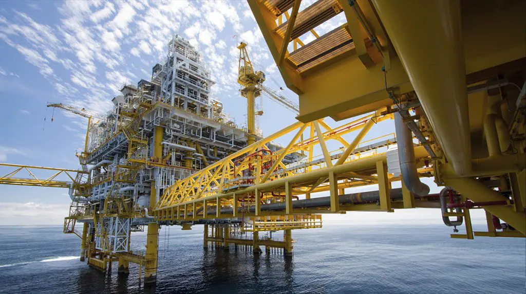
Engineering
Engineering is at the heart of the oil and gas industry.
Engineering
Engineering is at the heart of the oil and gas industry.
Engineering is at the heart of the oil and gas industry and plays an integral role in delivering safe and competitive projects, keeping the barrels flowing and our plants reliable. Reducing complexity and controlling project and operating cost are among the biggest challenges facing our industry. Collaboration among major operators to identify, align and sponsor activities, such as standardization, is key to our sector remaining competitive and relevant.
Latest News
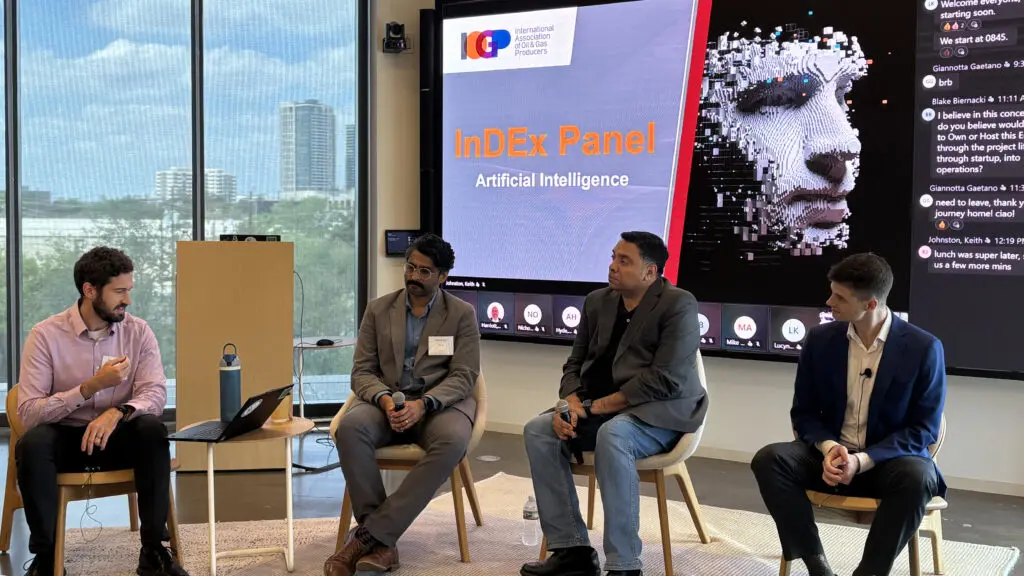
Accelerating Industry Alignment on AI, Digital Data Foundations, and Practical Delivery.
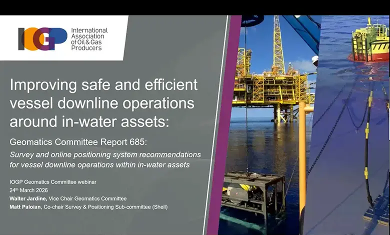
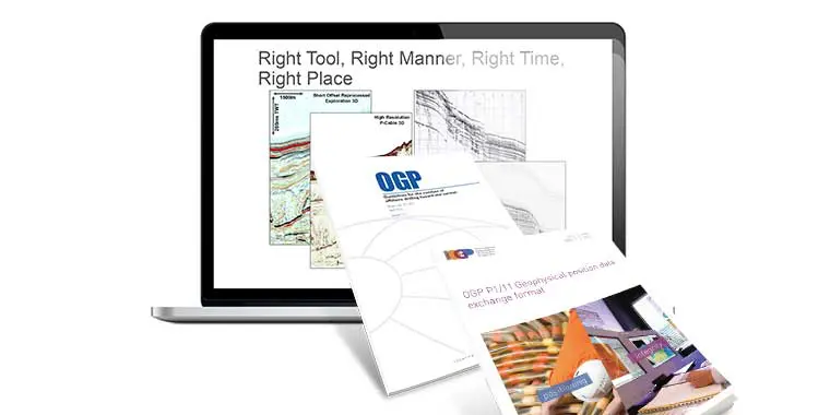
The IOGP Geomatics Committee recently hosted a webinar to introduce the newly released guideline Survey and online positioning system recommendations for vessel downline operations within in-water assets.
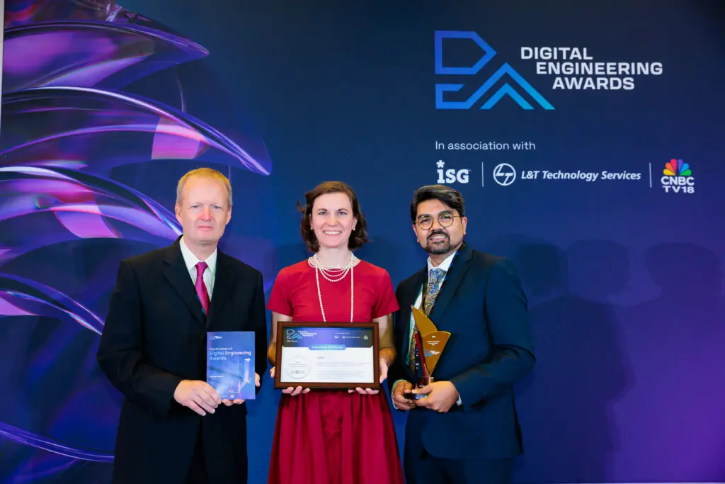
IOGP has won the Digital Engineering Project/Program of the Year Challenger award at the 2026 Digital Engineering Awards.
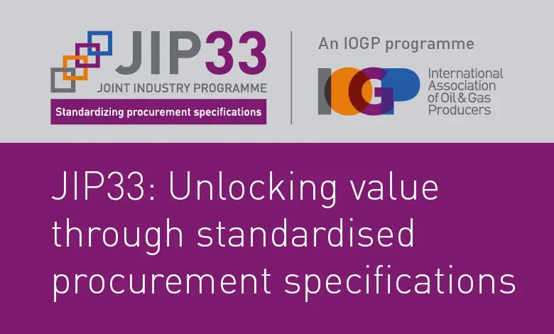
JIP33 is a proven success, delivering cost benefits, shorter lead times, improved quality, and more predictable project outcomes through industry-wide alignment.
A new Geomatics Committee Expert Group has been established to enhance IOGP’s Seabed Survey Data Model (SSDM) so that it remains relevant, practical and aligned with how geospatial survey data is produced, managed and used today.

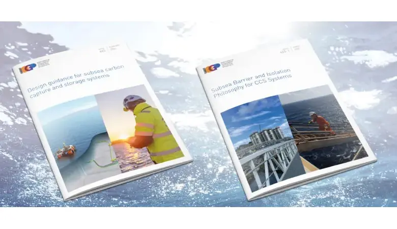
A new update to IOGP’s design guidance for Subsea Carbon Capture and storage systems expands on system design and operation guidance, addressing flow assurance, materials and integrity limits, injection operating envelopes, and alignment with barrier and monitoring requirements.
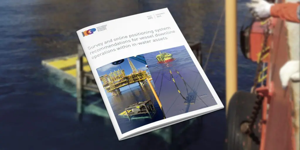
The IOGP Geomatics Committee is hosting a webinar briefing to introduce its newly released guideline, ‘Survey and online positioning system recommendations for vessel downline operations within in-water assets’.
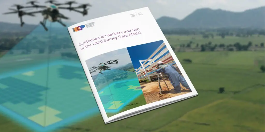
The IOGP Geomatics Committee would like to receive industry feedback on its Land Survey Data Model (LSDM).

IOGP is exploring an exciting new opportunity that will potentially usher in a new era of industrial safety.
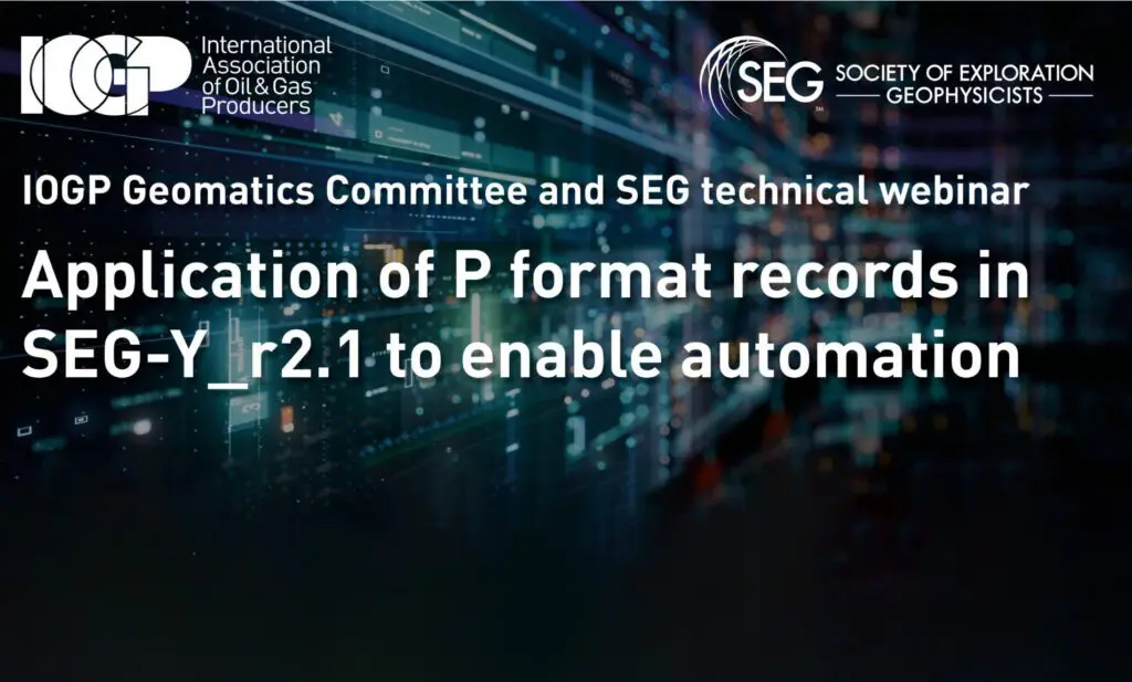
IOGP and SEG gathered 80+ experts to discuss seismic data standards, including SEG-Y Rev 2.1 and IOGP P-formats.
IOGP’s 14th Geomatics Industry Day – an online event – is scheduled for 9th December 2025

IOGP Digital Transformation Committee (DTC) is pleased to announce the launch of Joint Industry Sprint 03 (JIS03).
It has been ten years since IOGP introduced the IOGP Standards Solution — an initiative that enables experts to contribute to ISO oil and gas standards while ensuring compliance with international sanctions against embargoed countries. This solution remains as vital today as it was at its inception.

IOGP’s Engineering Directorate has published its Q2 2025 highlights.
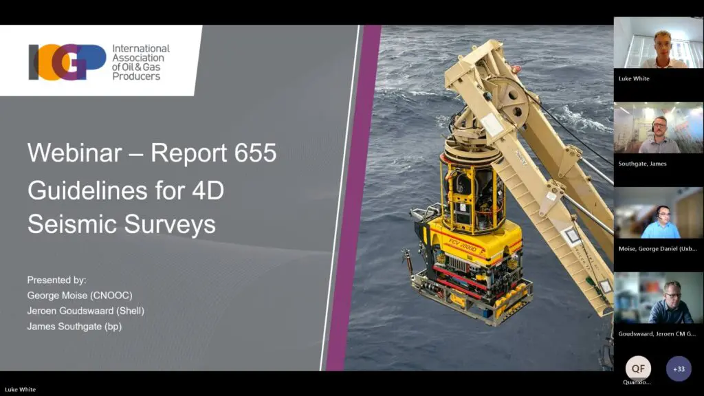
The IOGP Geomatics Committee recently held a webinar on the recently released Report 655 – Guidelines for 4D Seismic Surveys.
Earlier this year, the Normally Unattended Facilities (NUF) Expert Group within the Standards Committee held a workshop to launch the development of a comprehensive NUF guideline, the latest of the group’s key milestones towards standardization.
To help the industry evaluate key decisions and mitigate risks unique to a subsea CCS system, IOGP has published a webpage to promote its comprehensive guidance resources.
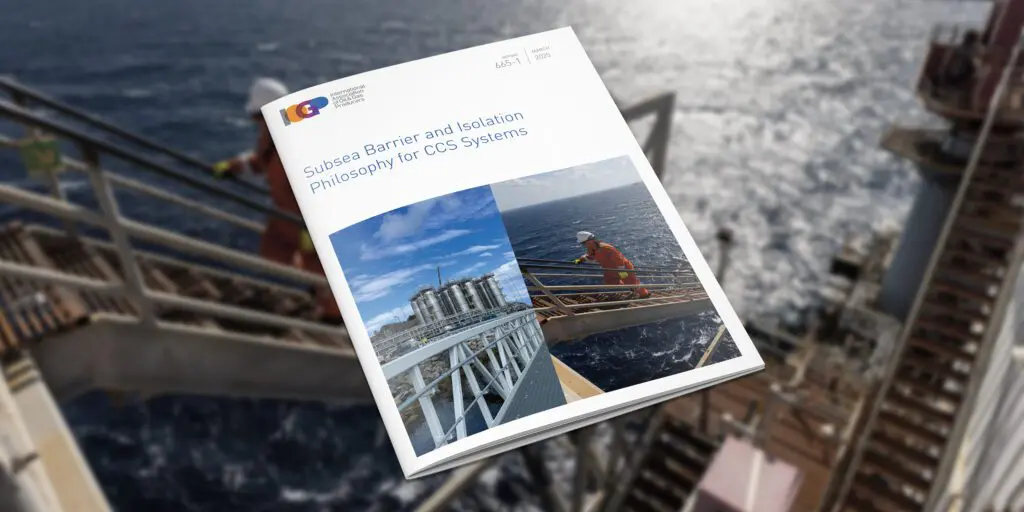
Ryan Gola (ExxonMobil) and David Saul (bp), Co-Chairs of the IOGP’s Subsea CCS Expert Group share their insights on how subsea CCS systems are set to benefit from new guidelines that address their unique challenges.
IOGP’s Engineering Directorate has published its Q1 2025 highlights.
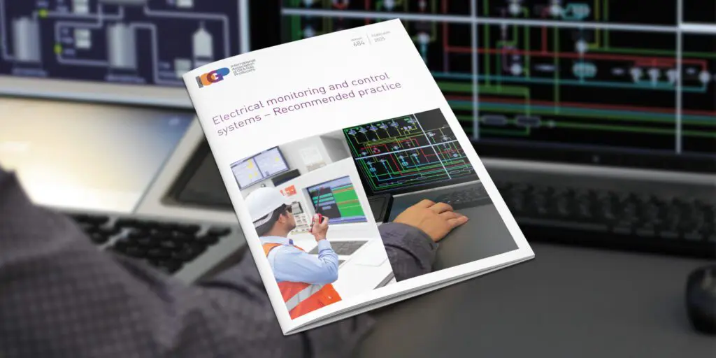
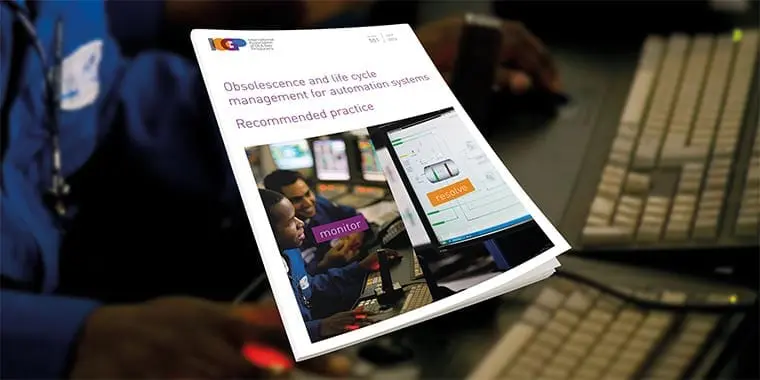
The IOGP Standards Committee is pleased to announce the release of Report 684 – Electrical monitoring and control systems – Recommended practice.

On February 27, 2025, the IOGP’s Geomatics Committee’s Remote Sensing Subcommittee held a Members-Only workshop on the applications of remote sensing in environmental solutions.
IOGP’s newly launched Joint Industry Sprint (JIS02) to develop a harmonized industry specification for Additive Manufacturing (AM) of components in the oil and gas sector recently held its first workshop – to establish the scope and planned deliverables.
Material fraud has long been a significant issue in the energy industry’s supply chain, leading to financial losses and safety risks for the end users on the one hand, and to liability issues and ultimately reputational damage to the suppliers on the other.
The Material Digital Passport (MDP) project, an IOGP Joint Industry Sprint, has recently engaged stakeholders with a series of webinars and workshops.
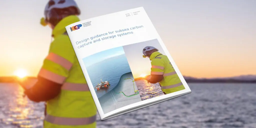
IOGP has published IOGP Report 665 – Subsea CCS design guidance, as a resource for designers and developers of carbon capture and storage (CCS) systems with all, or portions, of the system located underwater.
In a bid to revolutionize the energy industry’s supply chain and combat material fraud, IOGP is undertaking a Joint Industry Sprint for the definition of a Material Digital Passport (MDP) specification. As we embark on this transformative journey, we invite representatives from the entire supply chain to join us in shaping the future of material traceability.
Efficiency and standardization continue to be key watchwords for the industry as it strives ever harder to deliver low-carbon, safe, and efficient energy sources to the world.

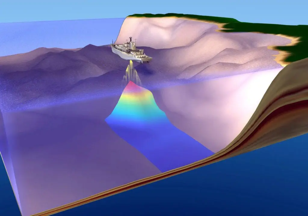
This recent Geomatics Committee publication aims to provide a voluntary standardized approach for the determination of depth or height from seawater pressure observations, a subject for which there is currently no industry-wide technical specification.

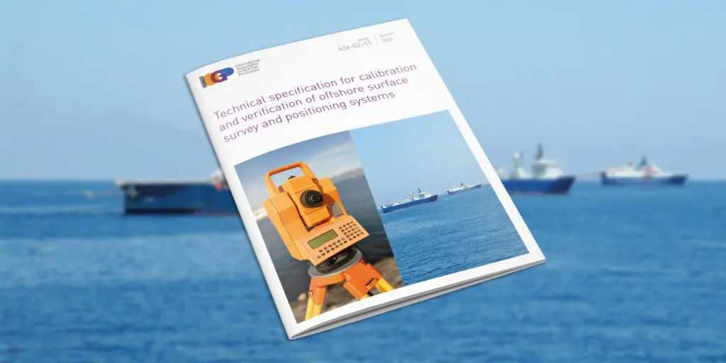
IOGP has released IOGP Report 624-02-01 – Technical specification for calibration and verification of offshore surface survey and positioning systems.
Emerging technologies are creating new rules for businesses and transforming the entire energy industry at an unprecedented pace.
The IOGP Standards Committee recently welcomed Cecilie A. Haarseth of ExxonMobil as its new Chair. We caught up with her to find out more about her experience, this role, and how she plans to steer the Committee.
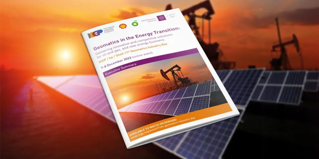
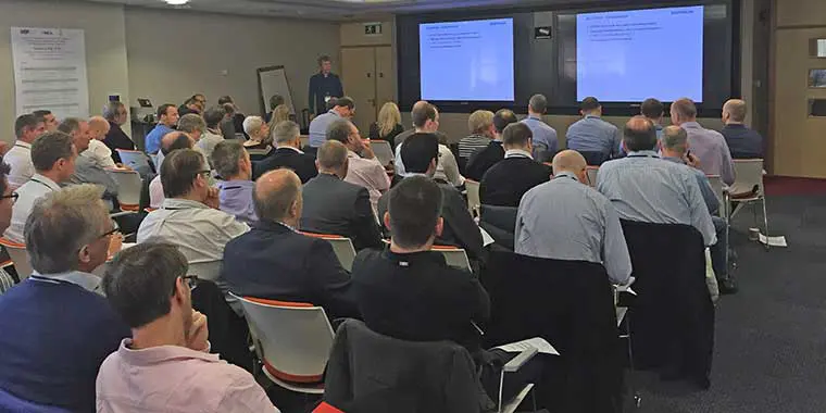
The IOGP Geomatics 11th Industry Day, co-hosted by IOGP, bp, and Shell, highlighted the importance of the geomatics discipline in an ever-evolving industry.
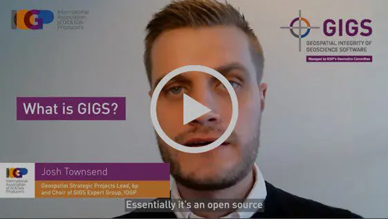
IOGP interviewed Josh Townsend, Chair of IOGP’s GIGS Expert Group, about the GIGS project, its benefits to industry, and its success to date.
When IOGP’s Digital Transformation Committee completes its work, engineers might work very differently than they work today.
(London) IOGP’s Land Survey Data Model (LSDM) is available now. This release continues IOGP Geomatics Committee practice of maintaining an ‘out-of-the-box’ data model template to manage survey data within a geodatabase.
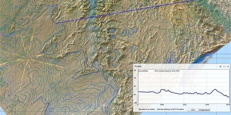
Topographic and other features mapped during land surveys in oil and gas exploration and production are currently collected in a variety of file types and formats.
In 2011, in response to several damaging oil spill incidents, IOGP Member Companies formed the Global Industry Response Group (GIRG) to ensure that the lessons from these events were applied across the industry.
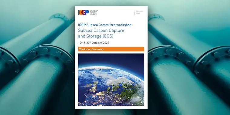
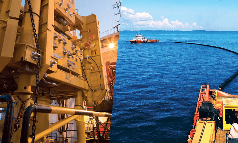
What are the roles and requirements for subsea systems in the carbon capture space? That was the topic of a recent Subsea Committee workshop.
This year’s IOGP Geomatics Industry Day will focus on the role that Geomatics plays in the energy transition through delivery of cost competitive and operational efficiency and management of HSSE risks and geospatial data solutions as enablers for existing oil and gas and future energy business.

Projects in the oil and gas industry are large and complex, and project execution can be negatively affected by unclear or ambiguous technical requirements.
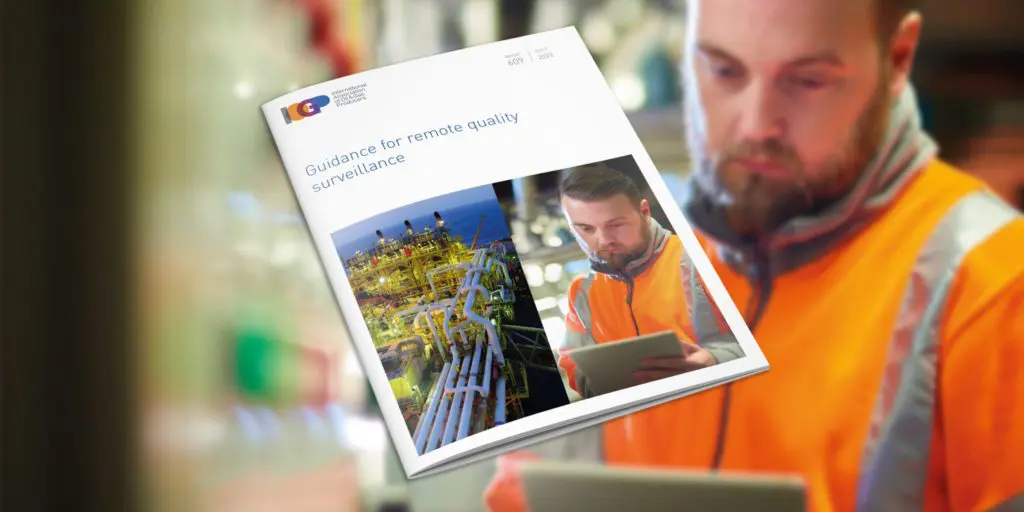
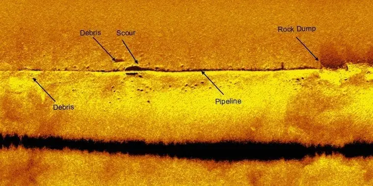
The Subsea Installation Committee has now released IOGP Report 609 – Guidance for remote quality surveillance that provides the industry with recommended practices related to the use of RQS.
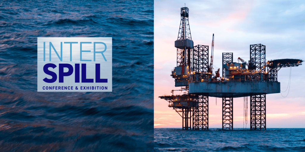
At Interspill 2022, Diana Khatun, IOGP’s Senior Manager for Security, Subsea, and Wells, chaired a session on subsea response, addressing subsea readiness, R&D on subsea dispersants and learnings from a large-scale exercises.

The IOGP Geomatics Committee welcomes Zurinah Yen Puasa of Shell, Vice Chair of IOGP’s Geomatics Committee, as the new Chair. Her experience and knowledge of the industry will help drive growth and give geomatics more influence as we move into the energy transition. We caught up with her to find out more about her experience, this role, and how she plans to help grow geomatics contributions to the industry.

Thermoplastic composite pipes are a relatively new technology with the potential to be an attractive choice for offshore applications.

IOGP’s Subsea Committee has published an executive summary of its subsea digitalization and electrification workshop.

ISO has published an updated Standards for use in the oil & gas industry poster, which includes standards developed through the IOGP Standards solution. Previously published by IOGP, this poster is

The Geomatics Committee is inviting feedback to better understand the value of the P Formats and Seabed Survey Data Model to its users and IOGP Members. The deadline for responses to both surveys is May 15th – please use the links below if you’d like to participate.
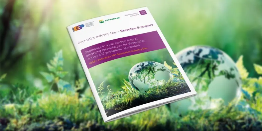
The pivotal role of geomatics in achieving the energy transition was underlined at the IOGP/Petrobras 10th Geomatics Industry Day held on 7-8 December, 2021.
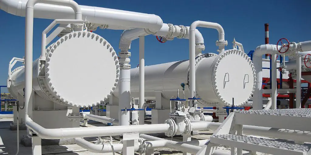
JIP33 (IOGP’s Standardization of Procurement Specifications programme) is developing an industry standardised procurement specification for plate heat exchangers and is inviting suppliers to participate in the pre-framing phase of its development process.

IOGP has built upon existing industry standards and specifications for flexible pipes with the publication of a new guideline on the qualification of internal pressure sheaths in flexible pipe that offers robust testing procedures for critical infrastructure.

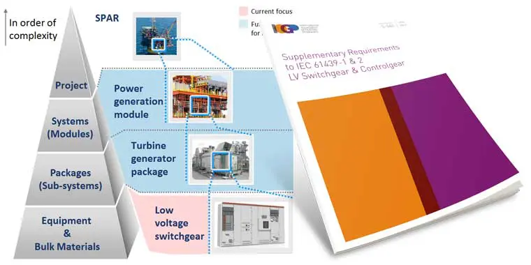
JIP33 has issued the S-560 LV Switchgear and Controlgear specification for public review. The consultation period will run for 5 weeks and will close on Monday, 07 March 2022 at 23:00 GMT.

JIP33 has issued two specifications for public review.
In December, IOGP’s 10th Geomatics Industry Day, organized jointly with Petrobras, attracted over 150 attendees who learned how this discipline is contributing to the energy transition.
When the downturn took hold in 2014, there was widespread recognition that the industry needed to make significant changes to how it operated. Inefficiency, it was clear, was a major challenge.

In each edition of Pulse, we publish a short interview with an IOGP colleague or committee member. This month’s interview is with David Harris, Manager – JIP33 Published Specifications.
The 2021 IOGP / Petrobras 10th Geomatics Industry Day will explore emerging technologies for deepwater survey and geospatial operations, in a low carbon future. It takes place on December 7th-8th.

IOGP has published a new digital GIGS framework.

Ever been confused by the wording in a standard or specification?
The energy industry is increasingly aligned with climate action and environmental goals to reduce carbon emissions and the drive to ‘net zero’. Geomatics has a strong part to play in this arena across a multitude of activities.
(London) Efficiency and standardization continue to be key watchwords for the industry as it recovers from the Corona virus epidemic and strives ever-harder to deliver safer, low cost and lower carbon energy sources to the world.
Greater precision in the drafting of requirements for use in the oil and gas industry will make projects easier to manage and reduce risk.
It’s 2030. New facilities and field clusters are fully electrified. Drones autonomously patrol the skies and underwater infrastructure, checking for leaks or integrity issues.

In each edition of Pulse, we publish a short interview with an IOGP colleague or Committee Member. This month’s interview is with Sajeev Menon, IOGP’s recently appointed Standards Manager.
The updated ‘Guidelines for GNSS Positioning in the Oil and Gas Industry’ has been released by the International Association of Oil & Gas Producers (IOGP) as IOGP Report 373-19 and the International Marine Contractors Association (IMCA) as IMCA S 015.

Lucyna (Lucy) Kryla-Straszewska, IOGP Geomatics and Metocean Manager, describes the work of the Geomatics Committee
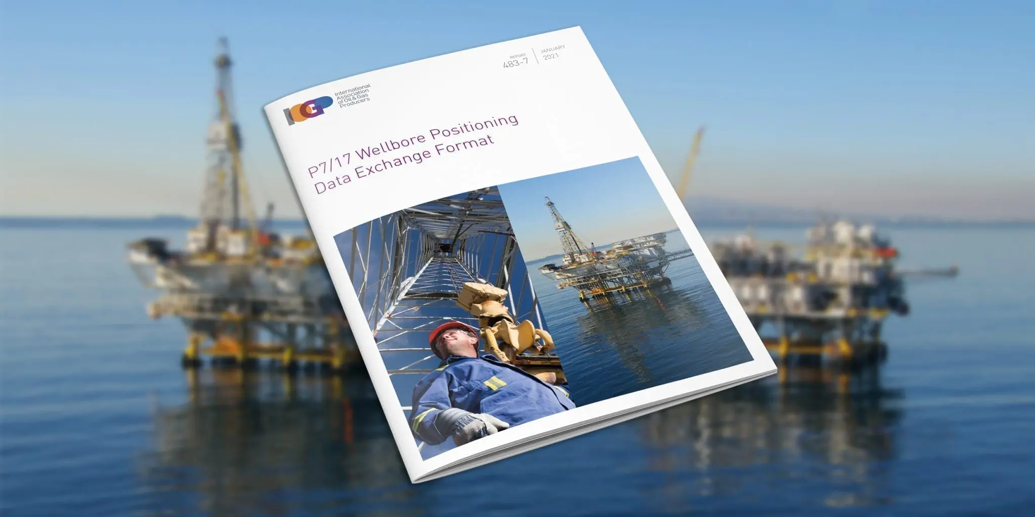
IOGP releases new P7/17 wellbore positioning data exchange format

On the 3rd and 5th November 2020, the Geomatics Committee has delivered two webinars dedicated to IOGP P6/11 Exchange Format. This industry standard is designed for 3D seismic bin grid
The Geomatics Committee is driving improved efficiency in the industry, through common standards for geospatial data management, visualisation & analytics, and in the simplification of survey and positioning operations. This
Spatially-aware applications are at the forefront of the digitalisation revolution, providing the energy industry with new revenue and value-producing opportunities. Geomatics is at the heart of facilitating this revolution and
CFIHOS (Joint Industry Programme 36) aims to make information handover quicker, easier and safer for operators, contractors, equipment manufacturers and suppliers by using standardised specifications and change the way that
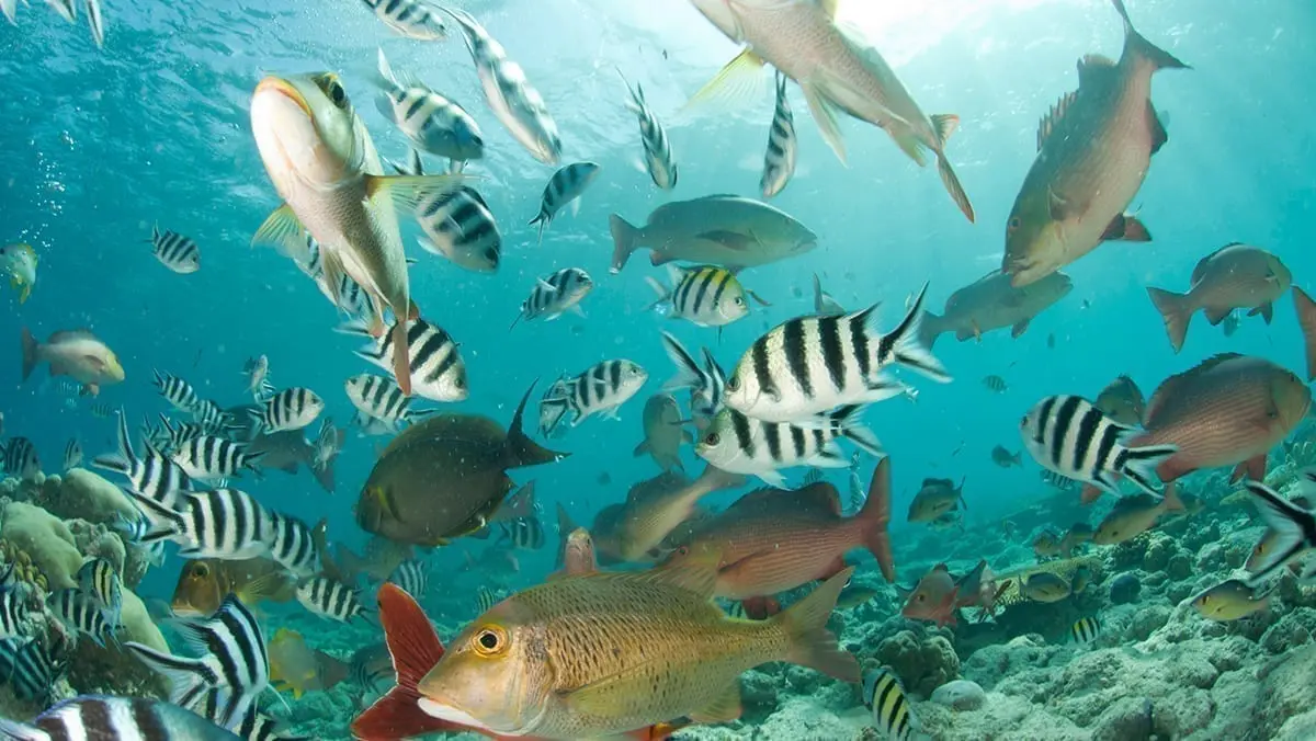
The ocean is our planet’s largest ecosystem. It stabilizes climate, stores carbon, produces oxygen, nurtures unimaginable biodiversity, and directly supports human wellbeing through food, mineral, and energy resources, as well as providing cultural and recreational opportunities. Unfortunately, much of the ocean is now seriously degraded, and as a responsible sea user, IOGP is working to help the industry play its role as part of the solution.
The primary aim of these documents is to harmonize the operating companies’ requirements and recommended practices to the subject matters.
Like the Joint Industry Project (JIP) 33, JIP 35 aims to achieve industry-level standardization. Its focus is on offshore structures specifications, driving reductions in upstream project costs through a decrease in variation in requirements between operating companies.

JIP33 has opened a new delivery centre at Aker Solutions’ Houston facilities. It joins the existing delivery centre in London and will focus on developing specifications that are important for the North American market.
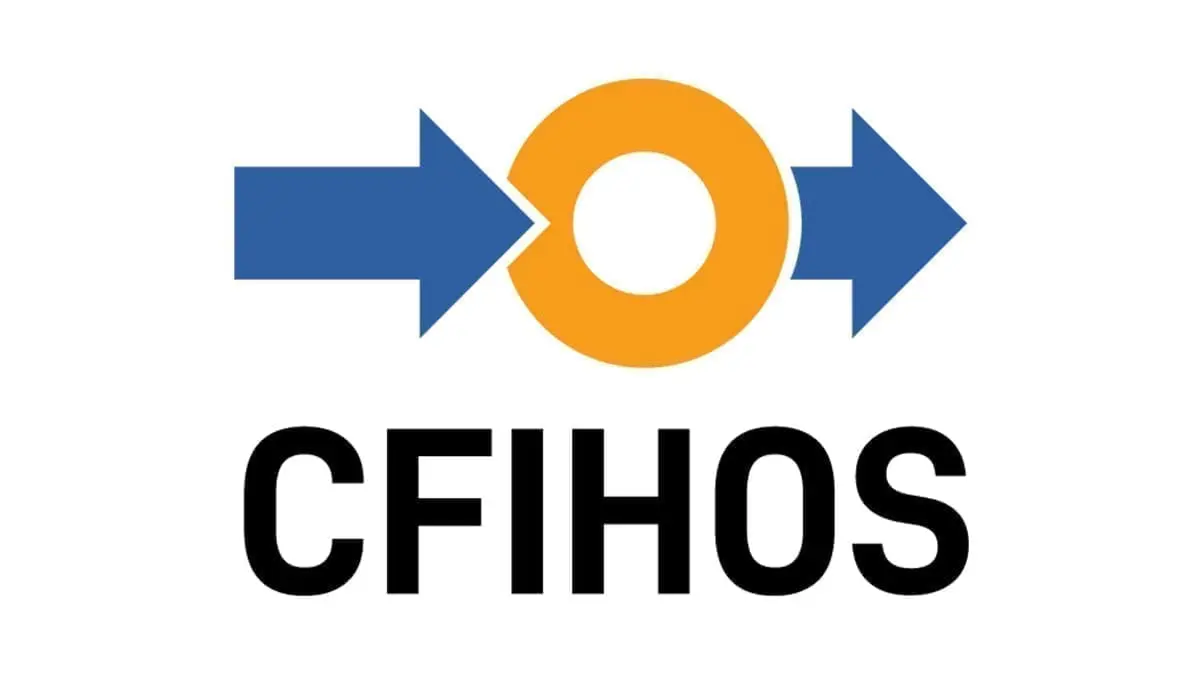
CFIHOS (Capital Facilities Information Handover Specification), a new IOGP project, has set out to address this with a standard that adds value across the supply chain. It makes handovers easier, saves time and money, and supports reliability and safety throughout the lifecycle of a facility.

IOGP offshore structures project publishes its first four specifications – with seven more to follow
A new IOGP initiative to reduce upstream project costs has published its first four specifications.
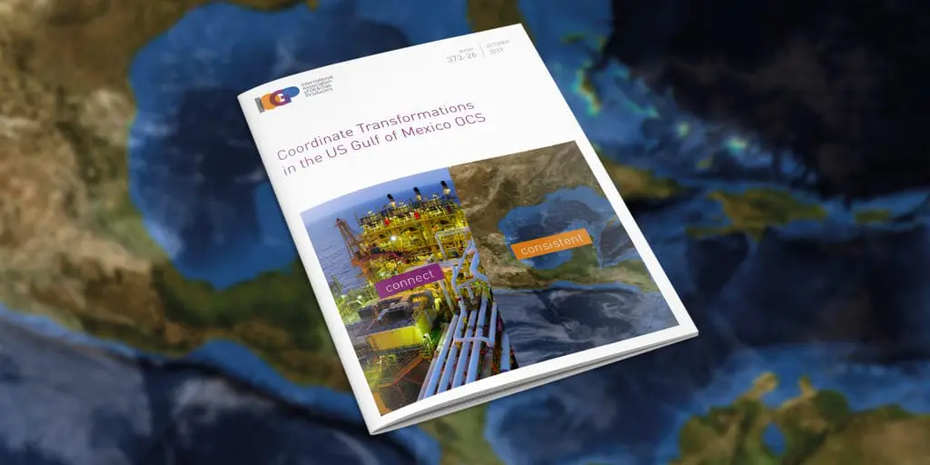
The new Geomatics Committee Guidance Note 26 (IOGP Report 373-26) describes the recommended practice for the use of coordinate reference systems (CRSs) and coordinate transformations (CTs) between CRSs for the US Gulf of Mexico Outer Continental Shelf (GoM OCS).

The IOGP-managed JIP33 held its first Industry Day on September 16, 2019, at BP’s Helios Plaza in Houston. It attracted 120 representatives from 41
organisations representing suppliers, engineering contractors and operators.
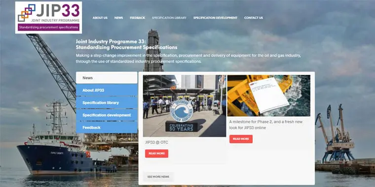
S-611 “Valve – Gate to API Spec 600 and API Spec 603″, alongside the others published to date, is available on the programme’s newly refreshed website – www.iogp-jip33.org for all to download and use on their projects

IOGP’s Geomatics Committee has elected Frederic Auger of Total as Chair. He succeeds Walter Jardine of BP, who is now serving as a vice-chair.

An upgraded EPSG Geodetic Registry platform could soon describe dynamic coordinate reference systems and derived CRSs which may be used for defining seismic bin grids.
Talking about standards, BP Group Executive Director Bob Dudley said in his opening remarks at the recent IP Week in London: “I think the idea of everyone having their own designs will soon feel very old-fashioned.”
IOGP’s Standards Committee ended its busiest year ever with a meeting in Perth, Western Australia.

IOGP’s Wells Expert Committee (WEC) has produced a new report to help guide operating companies in planning and preparing an effective emergency response plan for subsea oil spills and gas leaks.
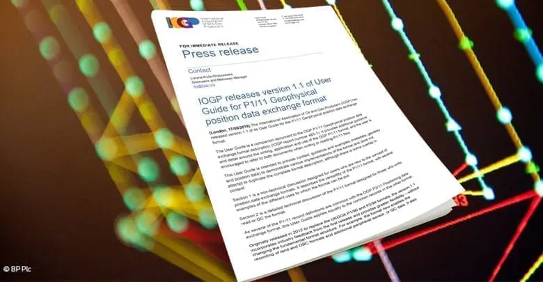
The International Association of Oil and Gas Producers (IOGP) has released version 1.1 of its User Guide for the P1/11 Geophysical position data exchange format.
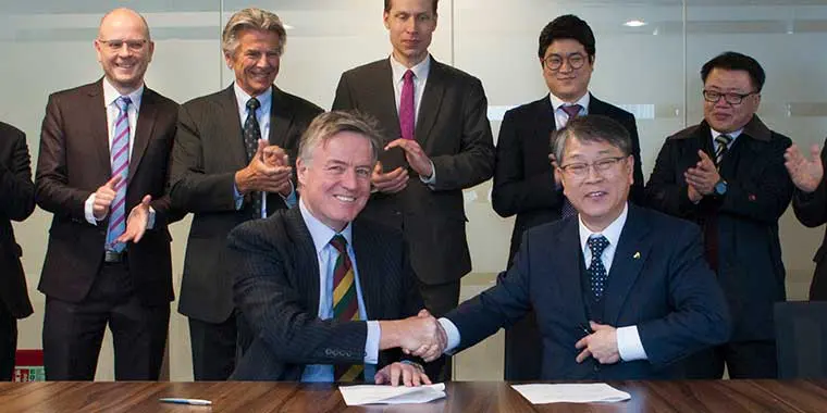
Memorandum of Understanding formalizes cooperation between IOGP and Unified Bulk Standardization JIP
IOGP and the Unified Bulk Standardization Joint Industry Project (UBJIP) signed a Memorandum of Understanding (MOU) on 1 March. It outlines a firm commitment for close collaboration and mutual support
Throughout, Roel has “stood out as a man of vision and technical aptitude,” says Subcommittee Chairman, Roger Lott. “During his time on the Subcommittee Roel has been instrumental in the

Standardization continues to be a top priority for the Association, supporting improvements in safety, reliability and the integrity of industry operations globally.
IOGP has published an update to the Guidelines, reflecting feedback on use of the original document from regulators from around the world, IOGP member companies, contractors, verification bodies and consultants.
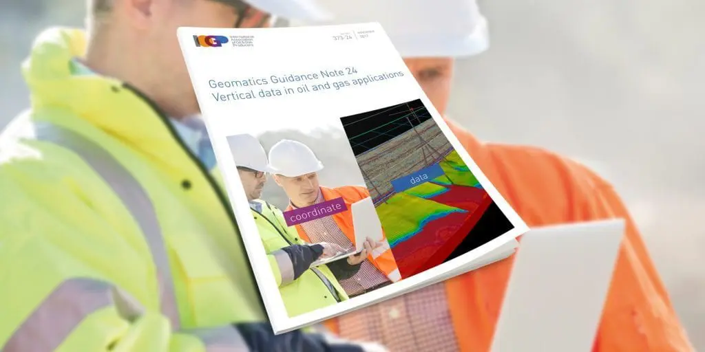
IOGP has released the Geomatics Guidance Note 24 (IOGP Report Number: 373-24), Vertical Data in Oil and Gas Applications.

Richard Wylde and Sigrid Matthes, representing the IOGP Geomatics Committee, delivered two breakout sessions on recent developments in Geomatics standards at this year’s National Data Repository (NDR2017), held at the Norwegian Petroleum Directorate offices in Stavanger, Norway.

The 7th IOGP Industry Day, organised jointly with Statoil at their offices in Stavanger, welcomed some 80 participants representing more than 50 different organisations.
IOGP’s Geomatics Committee is one of the Association’s most active. What exactly does it do, and why does it matter? To find out, Highlights decided to get to the bottom

It is very important for Operators to have an accurate and unequivocal definition of their exploration and operating licence boundaries. This certainty properly defines the commitment area, supports unitisation agreements
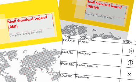
Shell has recently released an updated version of their Shell Standard Legend. The revised version includes new pipeline symbology and an additional symbol set in support of Urban Planning, as


Discover IOGP’s position on the development and use of international standards
As ever, the World Economic Forum (WEF) in Davos attracted the world’s political and financial elite. Also attending were IOGP Executive Director Gordon Ballard and JIP 33 Chair Ian Cummins

Appropriately, in the weeks leading to the year-end holiday period, IOGP published updated – and potentially universal — specifications for subsea Christmas trees. The report was prepared by Joint Industry

‘Your phone, computer, kitchen appliances and television are probably more sophisticated than ever before. At the same time, they are more interdependent, more software reliant and so more difficult to
The IOGP-managed joint industry project (JIP33) on Standardization of Equipment Specifications for Procurement was initiated by operators and has the support of the World Economic Forum (WEF). The objective of the
Walter Jardine, BP’s Survey & Positioning Authority, is the new Chair of IOGP’s Geomatics Committee. He previously chaired the Geophysical Operations Subcommittee. Walter has 30 years’ industry experience in providing
In the interests of greater efficiency, lower costs and enhanced reach, IOGP’s Geomatics Committee held its first webinar on 10 March, hosted by Walter Jardine, chair of the Geophysical Operations
Some 100 Geomatics experts gathered in Aberdeen last month for an Industry Day devoted to innovation, efficiency and standardization initiatives. IOGP’s Geomatics Committee collaborated with the International Marine Contractors Association
With no budget, apart from the man-hour costs provided by each participant company, and a short timeframe, the IOGP IASSC Level Measurement Task Force faced a tough challenge in drafting
In the interests of greater efficiency, lower costs and enhanced reach, IOGP’s Geomatics Committee held its first webinar on 10 March, hosted by Walter Jardine, chair of the Geophysical Operations
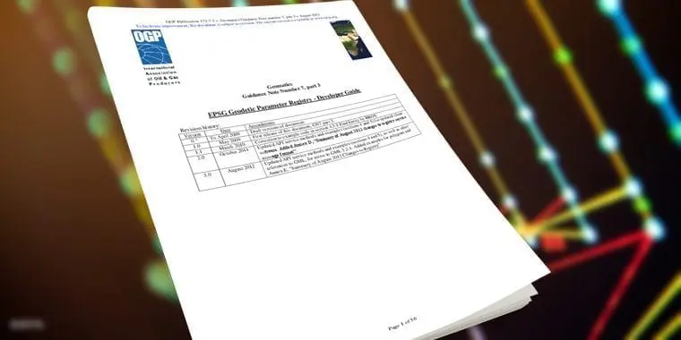
IOGP has published a revision of IOGP 373-7-3 – Geomatics Guidance Note Number 7, part 3, a multi-part document for users of the EPSG Dataset. Part 3 – the Registry
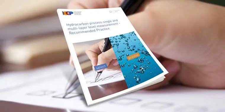
A new IOGP recommended practice aims to address the challenge of accurately measuring single and multi-layer level in the hydrocarbon processing industry. IOGP 547, Hydrocarbon process single and multi-layer level
This April, Aberdeen’s E&P professionals will get a chance to learn about the latest trends in Geomatics at a Geomatics Industry Day, hosted by Shell. The one-day event will take
“Standardization plays a key role in achieving volume on selected solutions, obtaining cost and time reductions and HSE and quality improvements,” says Roald Sirevaag of Statoil, who chairs IOGP’ Subsea
In a call to address the lack of practical standards for information exchange in the industry, the IOGP Standards Committee has initiated an “Information Standards Sub-Committee” for owner operators. This

A group of 10 companies – BP, Total, Sonangol, Eni, Shell, Woodside, Engie, Saudi Aramco, Chevron and Statoil – kicked off a new joint industry project (JIP) for Standardization of

The IOGP Seabed Survey Data Model Task Force would like to receive industry feedback on SSDM v1. The results will be used to guide development of SSDM v2. If you
In October, IOGP’s Geomatics Committee will be in Houston as part of an industry outreach event for oil and gas industry geomatics professionals and others with an interest in the

In support of the recent upgrade to version V1.1 of the OGP P1/11 and OGP P2/11 position data exchange formats the IOGP Geophysical Operations Subcommittee has published two sample files.
The International Association of Oil and Gas Producers (IOGP) has released version 1.1 of its P1 and P2 geophysical position data exchange formats. Originally released in 2012 to replace the

In March, IOGP’s Instrument & Automation Standards Subcommittee (IASSC) celebrated the publication of its latest recommended practice at Real Madrid’s Santiago Bernabéu stadium. Members planned the celebrations to coincide with

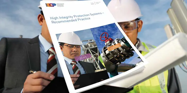
High integrity protection systems (HIPS) are becoming an increasingly common feature of oil and gas facilities worldwide. HIPS can provide an alternative to conventional mechanical protective devices (e.g. relief valves)
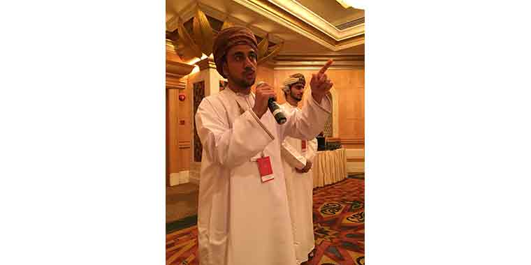
The Gulf Cooperation Council/Gulf Standards Organization (GSO) joined forces with IOGP in November for a workshop in Muscat, Oman. Topics included: CO2-resistant cement foam cement packer fluids formation impairment OBM-waste
ISO/TS 16530-2, Well integrity in the operational phase is the first standard to be released by ISO under the new IOGP Standards Solution. IOGP and the participating operators jointly contributed

PTTEP hosted IOGP’s Standards Committee, at its 2nd annual meeting in Bangkok in September. Committee Chair, Denis Deutsch, thanked Mr Phongsthorn Thavisin, PTTEP’s Executive Vice President, Engineering and Development and
Management and development of company specifications were on the agenda at two-day, Repsol-hosted OGP workshop, which took place in Madrid, in July. Regulators, classification societies, design contractors and suppliers joined
OGP’s 2014 Geomatics Industry Day will be organised jointly by the Association’s Geomatics Committee and Woodside Energy Ltd. This one-day outreach event will take place at Woodside’s headquarters in Perth, Western

A group of geomatics and well bore positioning specialists is aiming to provide a new format for well bore survey data exchange. The requirement for a format that fully meets
Since its publication in April 2011, the Seabed Survey Data Model (SSDM) Version 1 has become the de facto industry standard for delivering seabed survey data in geographic information system

Image: Participants of the Geomatics Committee’s workshop on geomatic and geodetic challenges in southern Iraq In November, geomatics managers representing eleven oil and gas companies met in Istanbul, Turkey, to
Geomatics Committee gathered in Rio de Janeiro on 21 and 22 October for their biannual committee meeting, hosted by Petrobras, at the company’s CENPES R&D center. This was followed by
OGP’s Geomatics Committee has recently released the P6 Geographic Information Systems (GIS) Data Model to supplement the OGP P6/11 Seismic bin grid data exchange format published in 2012. Since the
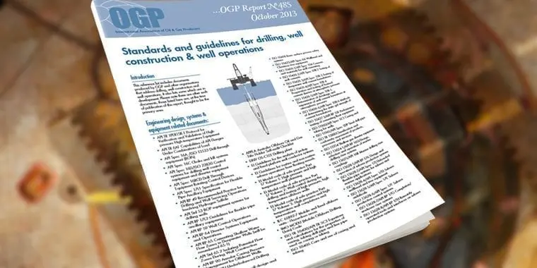
OGP has released an update to the overview of “Standards and guidelines for drilling, well constructions and well operations. It replaces the December 2012 edition (Report No. 485). The contents
Sigrid Matthes is the new Vice Chair of the Geomatics Committee. She joins Chair Palle Jensen in leading the Committees efforts to promote the discipline within the industry. Sigrid says

The Geomatics Committee’s Chair, Palle Jensen of Maersk Oil, is leading the Committee’s efforts within the Geomatics discipline to the benefit of the OGP members and the upstream industr. Palle
OGP’s Geomatics Committee, chaired by Palle Juul Jensen, has recently published a guideline for the delivery of seabed survey data in GIS format in compliance with the OGP Seabed Survey
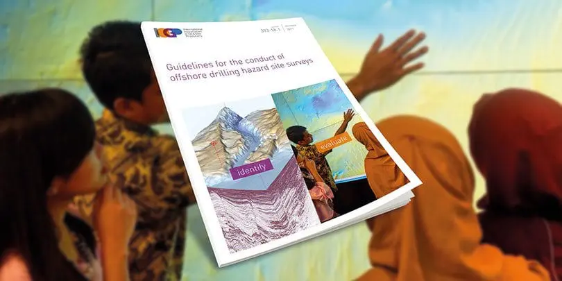
OGP’s Geomatics Committee has recently produced a revised version of its Guidelines for the conduct of offshore drilling hazard site surveys (Report No 373-18-1). Published in May 2013, the updated

The Management Committee’s recent meeting at OGP’s London offices provided the opportunity to commemorate the efforts of the Geomatics Committee Chair, Richard Wylde, on the occasion of his retirement from
While an industry should have a single set of global standards, there is no reason why there could not be several standard brands. That was one of the insights offered
Directorate highlights

JIP33 specifications’ success
Our Joint Industry Programme on the standardization of procurement (JIP33) delivered its 48th specification and saw more than 55,000 downloads in 2021. 42 specifications have now been adopted and 25 used for purchasing specifications by operator Member Companies.

Geomatics in a low-carbon future
A joint IOGP/Petrobras 10th Geomatics Industry Day, with ‘Geomatics in a low carbon future’ as its theme underlined the pivotal role geomatics has in the energy transition. It is now available on-demand .
An executive summary is available in the IOGP publications library.

Licence agreement with API
In 2021 IOGP entered into a licence agreement with API to use their content of select standards free of copyrights for joint development of the standards under the IOGP Standards Solution framework. Under the license agreement, three pilot standards have been selected for joint development by API, ISO and IOGP experts: ISO 28300; ISO 3183; ISO 13628-1