Geomatics Industry Day focuses on expertise & support
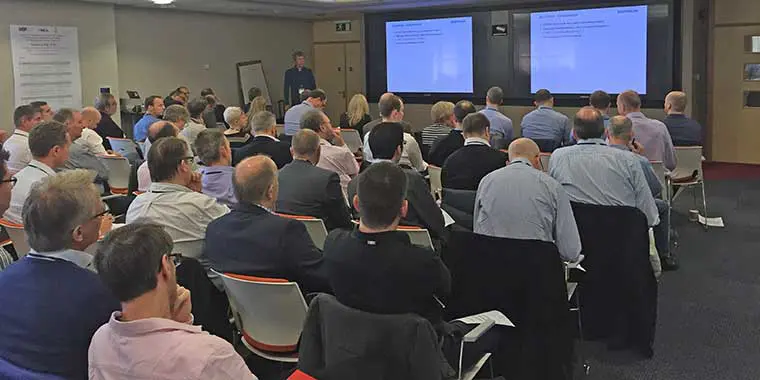
Some 100 Geomatics experts gathered in Aberdeen last month for an Industry Day devoted to innovation, efficiency and standardization initiatives. IOGP’s Geomatics Committee collaborated with the International Marine Contractors Association Offshore Survey Division Management Committee and the Hydrographic Society in Scotland) to organize the event. It attracted representatives from industry operators, service companies, contractors, equipment manufacturers and related associations. For those who were unaware of the different roles and activities of the three Industry Day organizers, representatives of each (Richard Wylde, Nick Hough and Ranald Blair respectively) explained how their programmes were making positive industry impacts. Shell UK was the host company.
The first group of presentations addressed developments in seabed mapping and visualisation. This included two sessions on developments in underwater laser & optics, where innovative solutions can provide 3D & 4D deliverables to improve asset integrity. Both presentations addressed ways to improve operational efficiency in contrasting ways. The first focused on how high density point cloud for subsea asset integrity management can help informed decision-making. The second looked at efficiency gains through automation (eg machine recognition) and how higher survey acquisition speeds can reduce ship time whilst maintaining reliable data. The third presentation covered the efficiency gains to be realised using synthetic aperture sonar for object search / site hazard surveys and wide area seabed mapping.
There was an outline of the new IOGP Guideline on vertical coordinate reference systems, designed to standardise and safeguard vertical accuracy of data and provide an audit trial.
Subsequent sessions focused on remote data acquisition, and data integration and sharing, with particular emphasis on how the maturity of web services is improving the way survey deliverables and remote monitoring can be presented. One talk explored the use of geospatial technology, web-mapping and digital data services to deliver offshore project efficiencies. Another presentation demystified some of the abbreviations used in survey GIS deliverables and went on to examine the outlook for survey deliverables through web services. Also on the agenda was a session on high resolution spatial satellite data. This is a market that is becoming more competitive, providing efficient data provision and a reliable tool for remote site monitoring. Industry Day participants heard how high resolution spatial satellite data are already used for emergency preparedness & response and rapidly growing for environmental with decommissioning surveys.
Another talk emphasised the importance of finding efficiencies in ‘standard’ survey practices, with examples drawn from survey sensor calibration & verification, and a challenge that industry collaboration in this area could help drive efficiency.
Finally, there was a presentation on new developments in Inertial Navigation Systems (INS) for lateral and vertical Out Of Straightness surveys, describing how rigorous INS and Doppler Velocity Log trials is helping to push the limits of achievable accuracies, to help meet particular engineering requirements.
Dave Whitcombe from IOGP provided a summary of the day’s events.
Commenting on the industry day, new Geomatics Committee Chair, Walter Jardine, said ‘Our meeting was a great opportunity for people from this specialist, but key, industry sector to exchange knowledge and experience on a wide range of topics – all within the context of the challenging business environment everybody is currently facing. Many thanks to all who contributed to this successful event.”
Following the Industry Day, the Geomatics Committee held their biannual meeting. BP was the host across sites in Aberdeen and Houston, linked by video.
The material presented at the Industry Day 2016 is available here:
- IMCA Offshore Survey Division Management Committee introduction, Nick Hough, IMCA Offshore Survey Division
- Improved Operational Efficiency using Underwater Laser Scanning, Scott Gray, Seatronics Ltd
- A 3D Optical Solution to Navigation, Michael Flynn, Cathyx Ocean
- Hydrographic Society in Scotland introduction, Ranald Blair, THSiS
- AUV Seabed Mapping and Pipeline Inspection using Synthetic Aperture Sonar, Trond Hagland, DeepOcean
- New Guideline on Vertical Coordinate Reference Systems, Craig Allinson, IOGP Geodesy Subcommittee
- IOGP Geomatics Committee introduction, Richard Wylde, IOGP Geomatics Committee former Chair
- Acronym Hell – GIS/PODS/SSDM/HTML5 – What’s it’s all about?, Adam Davis, Wishsoftware
- Using geospatial technology, web-mapping and digital data services to deliver offshore project efficiencies, Martin Day, Senergy
- High spatial resolution Earth Observation – a reliable tool for site monitoring, Peter Hausknecht, Earth-I Ltd
- Finding efficiencies in ‘standard’ survey practices, Mike Clark, Subsea 7