Geomatics
Geomatics is the combined discipline of Survey & Positioning and Geospatial Data Management, and provides accurate positioning and mapping support across the full oil and gas life cycle.
Geomatics
Geomatics is the combined discipline of Survey & Positioning and Geospatial Data Management, and provides accurate positioning and mapping support across the full oil and gas life cycle.

Geomatics
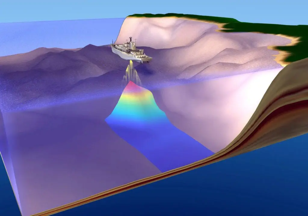
Oil & Gas business decisions, safety of personnel, assets, operational activities, and also protection of the natural environment, are often dependent on having complete, correct, consistent and current information of our operating locations and areas of interest. Geomatics is the combined discipline of Survey & Positioning and Geospatial Data Management, and provides accurate positioning and mapping support across the full O&G life cycle.
Our key work areas


Our work in action
New Deliverables
- IOGP Report 685 – Survey and software recommendations for downline operations vessels within in-water assets
- IOGP Report 483-6p – P6/11 Seismic bin grid data exchange format – basic principles and recommendations
- IOGP Package 640 – Symbology for Land Survey Data Model (LSDM)
- Geomatics Technical Flash: Subsea 3D point clouds
Revisions
- Geomatics Strategy refresh
- IOGP Report 373-18-1 – Guidelines for the conduct of offshore drilling hazard site survey
- IOGP Reports: 483-1, 483-1u, 483-2, 483-6, 483-6u – IOGP seismic positioning data formats (‘P Formats’) and
user guides - IOGP Report 373-20 – Coordinate reference systems for the Arctic
- IOGP Report 373-21 – Grid convergence
- EPSG supporting documentation
- IOGP Report 373-07-1 – Using the EPSG geodetic parameter dataset
- IOGP Report 373-07-2 – Coordinate conversions and transformation including formulas
- IOGP Report 373-07-4 – EPSG Database and SQL script user guide
- IOGP Report 373-07-6 – EPSG Dataset – Policies and procedures for data management
Platforms – GIGS and EPSG maintenance (21k+ geodetic definitions), and customer-driven database updates
(processed 100+ data change requests from mapping authorities and released 20+ dataset updates)
Events and communication – promotion of EPSG 40th anniversary including EPSG celebration video, 14th Geomatics
Industry Day: Driving Adoption, Delivering Impact, and Geomatics technical webinars
- Provide maintenance and enhancements of EPSG including data population request from US national mapping authorities for North America.
- Work with Open Geospatial Consortium (OGC), International Organization for Standardization (ISO), Society of
Economic Geologists (SEG), Open Subsurface Data Universe (OSDU), and regulators to promote adoption or
improvement of coordinate data and reference system standards; provide input to the revision of ISO 19111:2019, Geographic information – Referencing by coordinates. - In collaboration with European Space Agency, promote remote sensing awareness within the industry.
- Progress revisions of geomatics deliverables:
- IOGP Report 373-18-2 – Conduct of offshore drilling hazard Site Surveys – Technical Notes
- IOGP Report 373-19 – Guidelines for GNSS positioning in the oil and gas industry
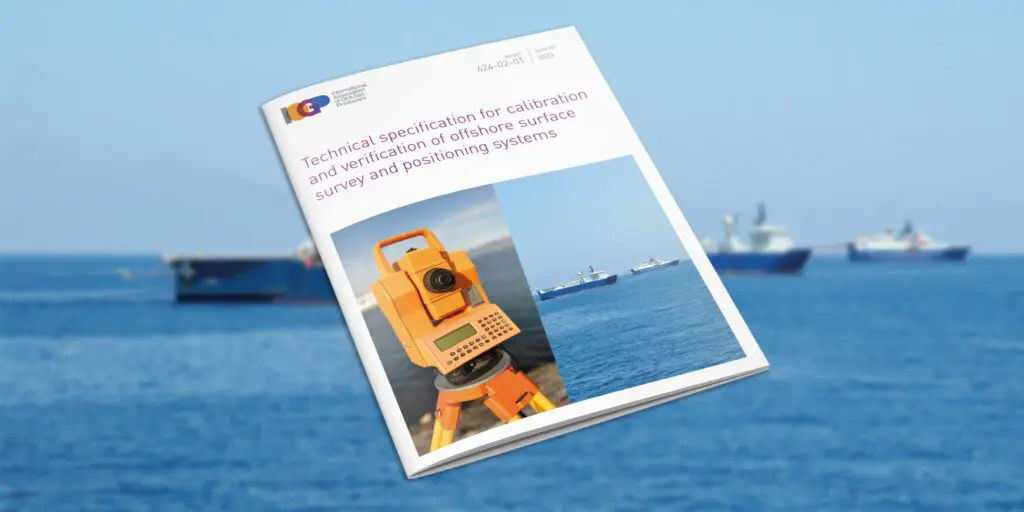
- IOGP Report 624-01 – Common Industry Technical Specification for the Calibration & Verification of USBL Positioning Systems
- IOGP Report 629 – Application of Remote Sensing Technologies for Environmental Monitoring
- IOGP Package 462 – Seabed Survey Data Model (SSDM)
- Cooperate with the Ipieca Marine Spill Group, including leading revision of the Common Operating Picture (COP) recommended practice, and with IMCA’s Offshore Survey Division on revision of their guidelines.
- Promote and drive adoption of the Geomatics Committee’s work by delivering webinars, videos, info sheets, articles, surveys, etc.
- Host 15th Geomatics Industry Day.
Related content
Recent publications

14th Geomatics Industry Day
Some 140+ geomatics practitioners and associates from around the world attended the IOGP Geomatics 14th Industry Day hosted by the Geomatics Committee in December 2025.…
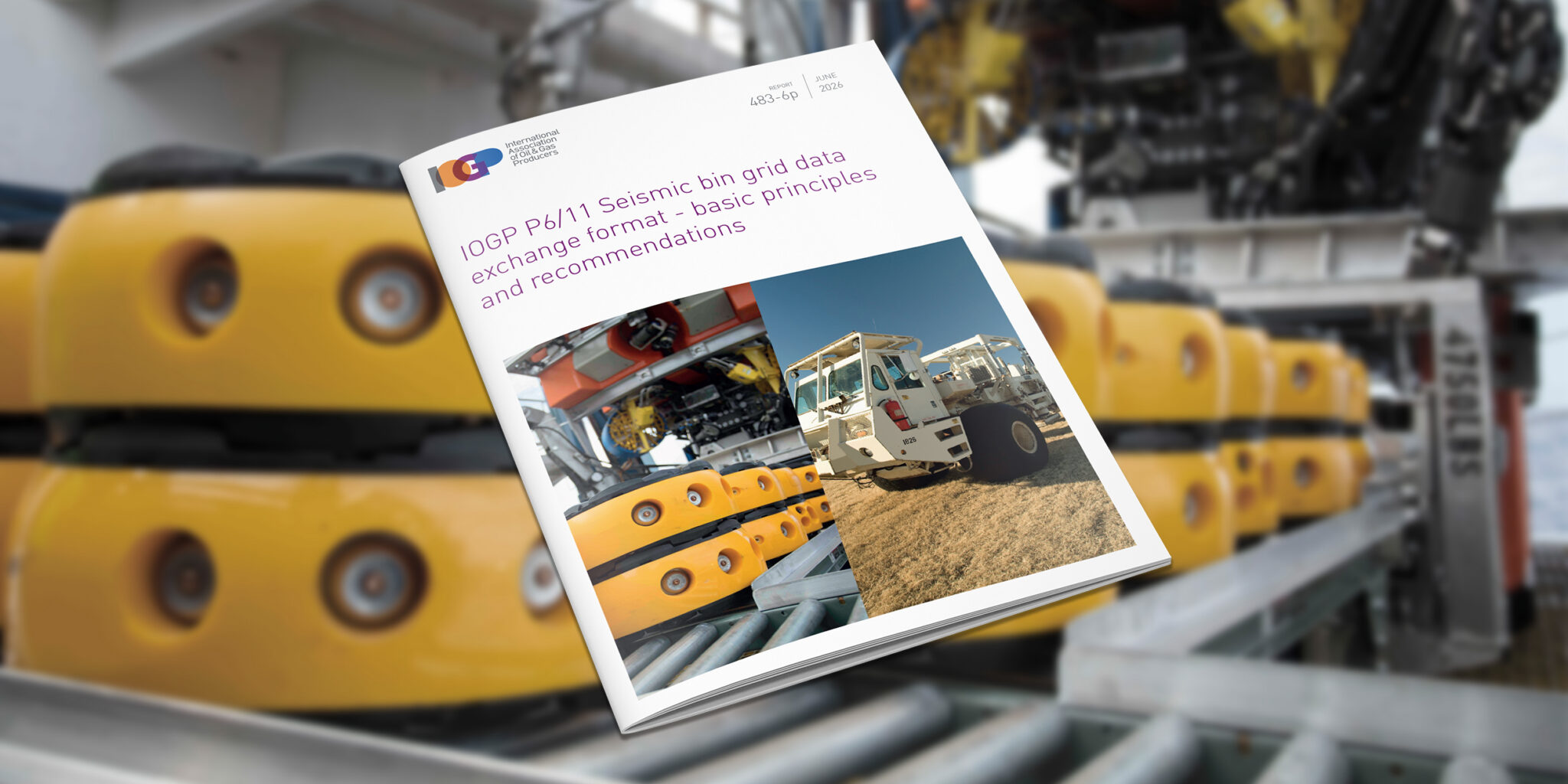
IOGP P6/11 Seismic bin grid data exchange format – basic principles and recommendations
This Report is provided as an aid to the understanding of the application of the P6/11 format and should be read with version 2.0 of…
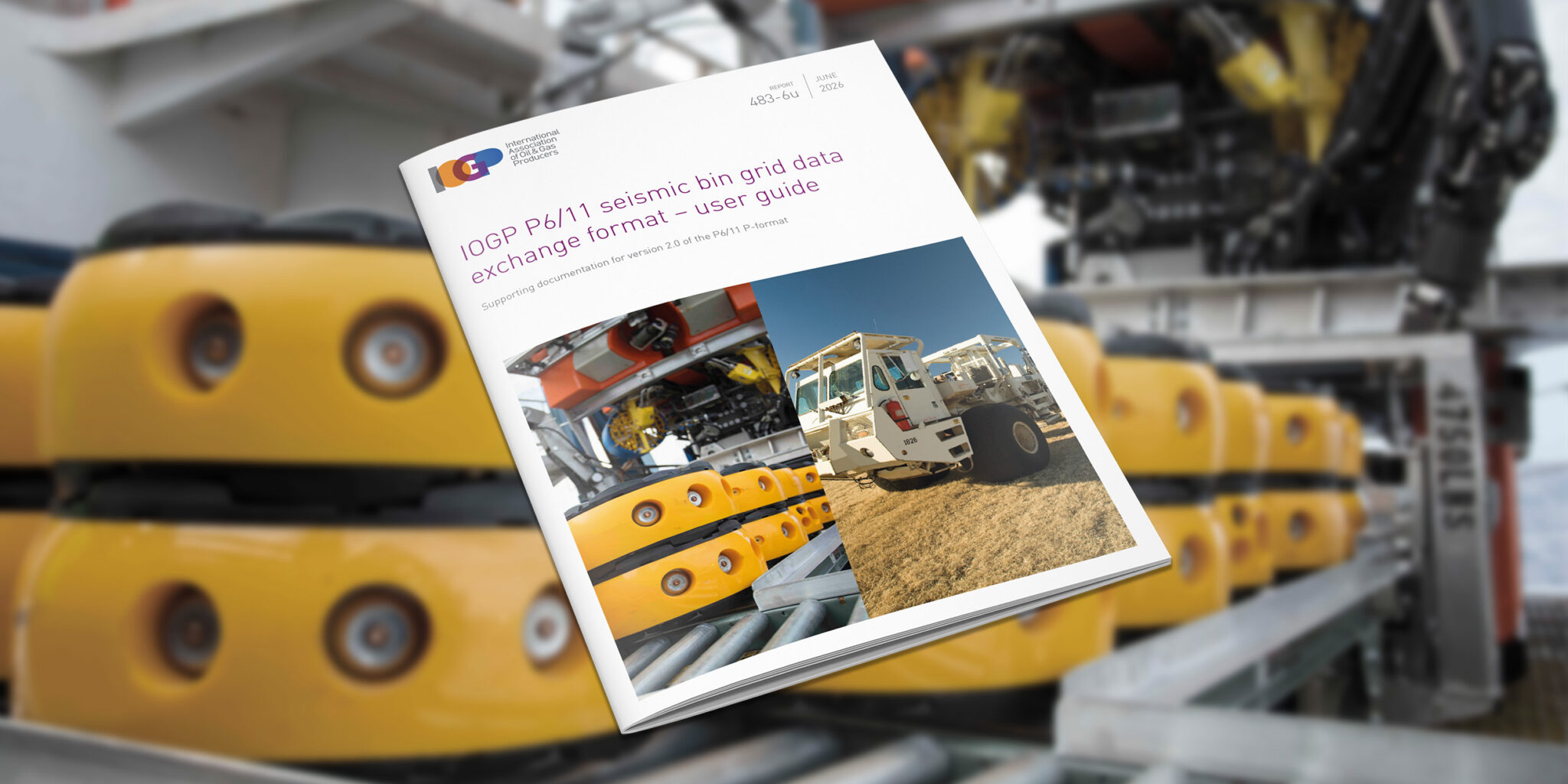
IOGP P6/11 seismic bin grid data exchange format – user guide
The IOGP P6/11 format is the most comprehensive standard in the oil and gas industry for the exchange, monitoring, and archiving of 3D seismic bin…
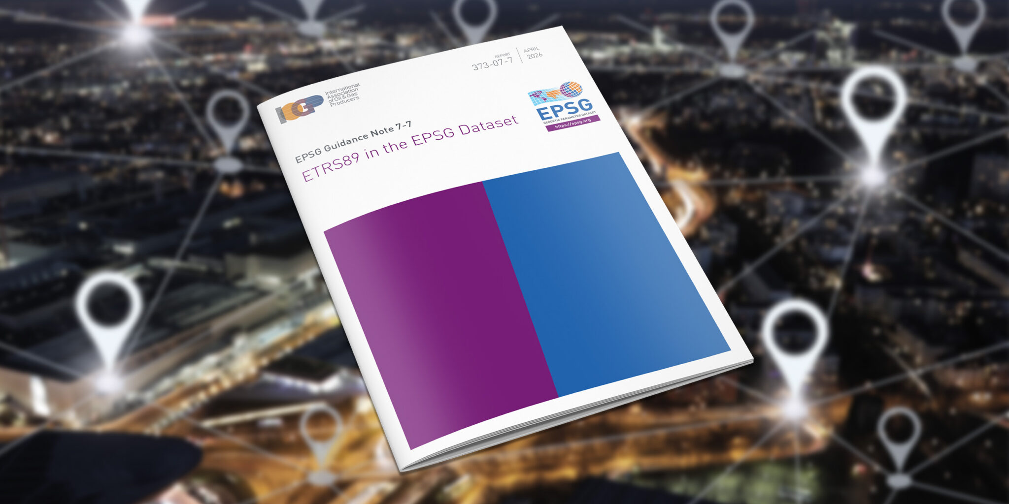
ETRS89 in the EPSG Dataset
This Guidance Note explains how ETRS89 regional and national realizations are available in the EPSG Dataset, in particular related to naming conventions and use of…

IOGP Report 373-07-2 – Coordinate conversions and transformation including formulas
This document provides a detailed explanation of formulas necessary for executing coordinate conversions and transformations using the coordinate operation methods supported in the EPSG dataset.…

Technical Flash – GNSS interference, jamming and spoofing: definition, detection, and defence
The document provides definitions of natural GNSS interference, and intentional jamming, and spoofing. The post Technical Flash – GNSS interference, jamming and spoofing: definition, detection,…
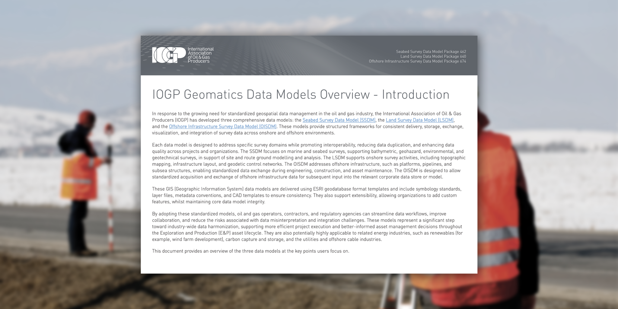
IOGP Geomatics Data Models Overview
This document provides an overview of the Seabed Survey Data Model (SSDM), the Land Survey Data Model (LSDM), and the Offshore Infrastructure Survey Data Model…

Survey and online positioning system recommendations for vessel downline operations within in-water assets
This document provides global common industry guidance and recommended practices to reduce the risk of a collision or entanglement between a vessel downline and in-water…

Flyer – Guidelines for the conduct of offshore drilling hazard site surveys
IOGP Report 373-18-1 – Guidelines for the conduct of offshore drilling hazard site surveys and its supporting IOGP Report 373-18-2 – Conduct of offshore drilling…
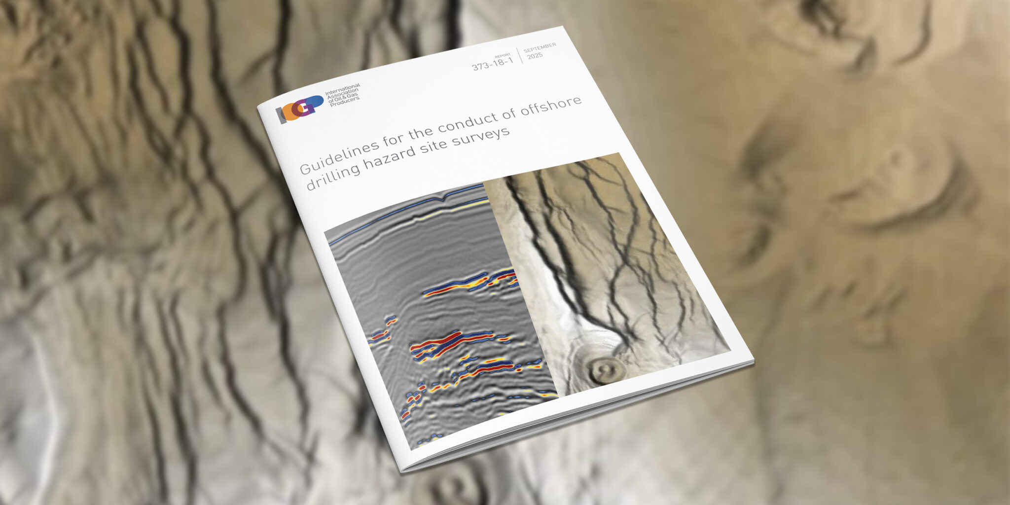
Guidelines for the conduct of offshore drilling hazard site surveys
This Report provides guidance for the conduct of offshore drilling hazard site surveys (hereafter referred to as ‘site surveys’) to support the safe delivery of…

IOGP has released version 2.0 of its P6/11 Seismic bin grid data exchange format technical specification (IOGP Report 483-6).
IOGP has published version 2.0 of the P1/11 and P2/11 formats.

IOGP’s Offshore Infrastructure Survey Data Model (OISDM) is now available.
Efficiency and standardization continue to be key watchwords for the industry as it strives ever harder to deliver low-carbon, safe, and efficient energy sources to the world.

This recent Geomatics Committee publication aims to provide a voluntary standardized approach for the determination of depth or height from seawater pressure observations, a subject for which there is currently no industry-wide technical specification.

(London) IOGP’s Land Survey Data Model (LSDM) is available now. This release continues IOGP Geomatics Committee practice of maintaining an ‘out-of-the-box’ data model template to manage survey data within a geodatabase.
(London) Efficiency and standardization continue to be key watchwords for the industry as it recovers from the Corona virus epidemic and strives ever-harder to deliver safer, low cost and lower carbon energy sources to the world.
The updated ‘Guidelines for GNSS Positioning in the Oil and Gas Industry’ has been released by the International Association of Oil & Gas Producers (IOGP) as IOGP Report 373-19 and the International Marine Contractors Association (IMCA) as IMCA S 015.
The International Association of Oil and Gas Producers (IOGP) has released version 1.1 of its User Guide for the P1/11 Geophysical position data exchange format.

Standardization continues to be a top priority for the Association, supporting improvements in safety, reliability and the integrity of industry operations globally.

IOGP has published an update to the Guidelines, reflecting feedback on use of the original document from regulators from around the world, IOGP member companies, contractors, verification bodies and consultants.
IOGP has released the Geomatics Guidance Note 24 (IOGP Report Number: 373-24), Vertical Data in Oil and Gas Applications.
(London) The International Association of Oil and Gas Producers (IOGP) has released version 1.1 of its P6/11 Seismic bin grid data exchange format (IOGP Report Number: 483-6). The P6/11 Format
(London) The IOGP Geomatics Committee’s Seabed Survey Data Model (SSDM) Task Force has completed SSDM version 2 incorporating industry feedback received since the release of SSDM version 1 in April 2011.

(London) A properly-conducted drilling hazard site survey for an offshore drilling location is essential to minimise the risk of harm to personnel and equipment and to protect the natural environment.

The International Association of Oil and Gas Producers (IOGP) has released version 1.1 of its P1 and P2 geophysical position data exchange formats. Originally released in 2012 to replace the

The International Association of Oil & Gas Producers (IOGP) has announced an upgrade to its EPSG online registry of geodetic parameters www.epsg-registry.org. The online registry now includes the facility to

The OGP Geomatics Committee’s Seabed Survey Data Model (SSDM) Task Force has published SeabedML, the Open Geospatial Consortium (OGC) Geography Markup Language (GML) Application Schema for SSDM version 1. OGC

The International Association of Oil and Gas Producers has set up a new body with the goal of increasing the industry’s use of Earth satellite and airborne imagery, a key