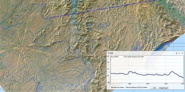
Geomatics
Geomatics is the combined discipline of Survey & Positioning and Geospatial Data Management, and provides accurate positioning and mapping support across the full oil and gas life cycle.
Geomatics
Geomatics is the combined discipline of Survey & Positioning and Geospatial Data Management, and provides accurate positioning and mapping support across the full oil and gas life cycle.

Geomatics
Oil & Gas business decisions, safety of personnel, assets, operational activities, and also protection of the natural environment, are often dependent on having complete, correct, consistent and current information of our operating locations and areas of interest. Geomatics is the combined discipline of Survey & Positioning and Geospatial Data Management, and provides accurate positioning and mapping support across the full O&G life cycle.
Our key work areas


Our work in action
New Deliverables
- IOGP Report 685 – Survey and software recommendations for downline operations vessels within in-water assets
- IOGP Report 483-6p – P6/11 Seismic bin grid data exchange format – basic principles and recommendations
- IOGP Package 640 – Symbology for Land Survey Data Model (LSDM)
- Geomatics Technical Flash: Subsea 3D point clouds
Revisions
- Geomatics Strategy refresh
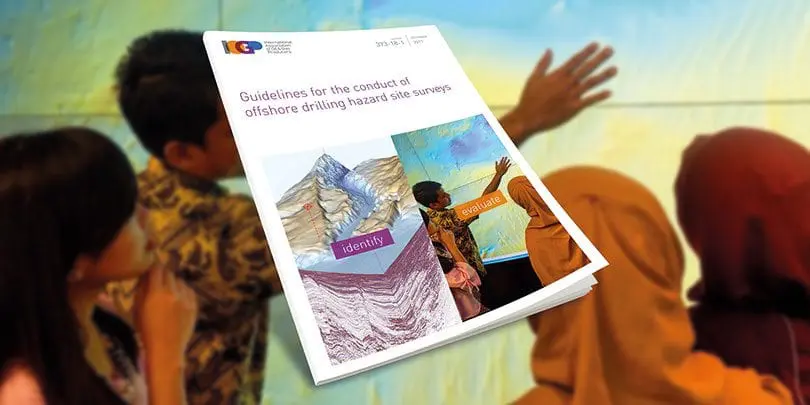
- IOGP Report 373-18-1 – Guidelines for the conduct of offshore drilling hazard site survey
- IOGP Reports: 483-1, 483-1u, 483-2, 483-6, 483-6u – IOGP seismic positioning data formats (‘P Formats’) and
user guides - IOGP Report 373-20 – Coordinate reference systems for the Arctic
- IOGP Report 373-21 – Grid convergence
- EPSG supporting documentation
- IOGP Report 373-07-1 – Using the EPSG geodetic parameter dataset
- IOGP Report 373-07-2 – Coordinate conversions and transformation including formulas
- IOGP Report 373-07-4 – EPSG Database and SQL script user guide
- IOGP Report 373-07-6 – EPSG Dataset – Policies and procedures for data management
Platforms – GIGS and EPSG maintenance (21k+ geodetic definitions), and customer-driven database updates
(processed 100+ data change requests from mapping authorities and released 20+ dataset updates)
Events and communication – promotion of EPSG 40th anniversary including EPSG celebration video, 14th Geomatics
Industry Day: Driving Adoption, Delivering Impact, and Geomatics technical webinars
- Provide maintenance and enhancements of EPSG including data population request from US national mapping authorities for North America.
- Work with Open Geospatial Consortium (OGC), International Organization for Standardization (ISO), Society of
Economic Geologists (SEG), Open Subsurface Data Universe (OSDU), and regulators to promote adoption or
improvement of coordinate data and reference system standards; provide input to the revision of ISO 19111:2019, Geographic information – Referencing by coordinates. - In collaboration with European Space Agency, promote remote sensing awareness within the industry.
- Progress revisions of geomatics deliverables:
- IOGP Report 373-18-2 – Conduct of offshore drilling hazard Site Surveys – Technical Notes
- IOGP Report 373-19 – Guidelines for GNSS positioning in the oil and gas industry
- IOGP Report 624-01 – Common Industry Technical Specification for the Calibration & Verification of USBL Positioning Systems
- IOGP Report 629 – Application of Remote Sensing Technologies for Environmental Monitoring
- IOGP Package 462 – Seabed Survey Data Model (SSDM)
- Cooperate with the Ipieca Marine Spill Group, including leading revision of the Common Operating Picture (COP) recommended practice, and with IMCA’s Offshore Survey Division on revision of their guidelines.
- Promote and drive adoption of the Geomatics Committee’s work by delivering webinars, videos, info sheets, articles, surveys, etc.
- Host 15th Geomatics Industry Day.
Related content
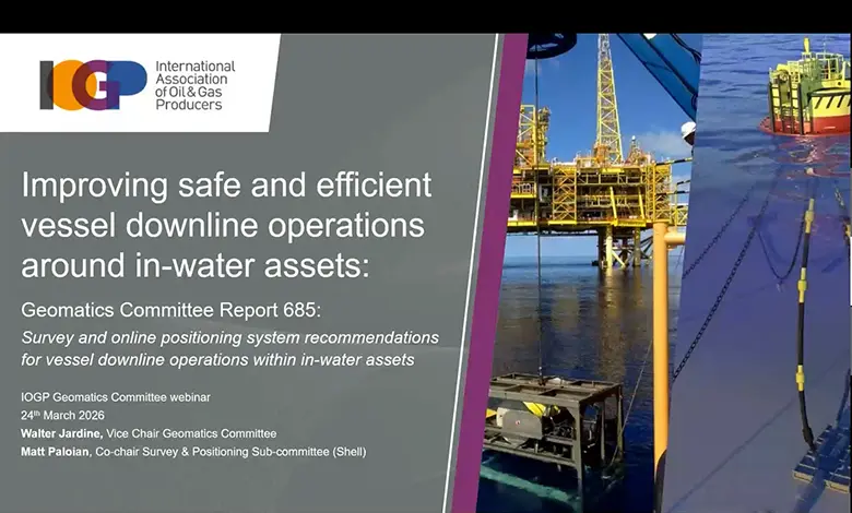
The IOGP Geomatics Committee recently hosted a webinar to introduce the newly released guideline Survey and online positioning system recommendations for vessel downline operations within in-water assets.
A new Geomatics Committee Expert Group has been established to enhance IOGP’s Seabed Survey Data Model (SSDM) so that it remains relevant, practical and aligned with how geospatial survey data is produced, managed and used today.
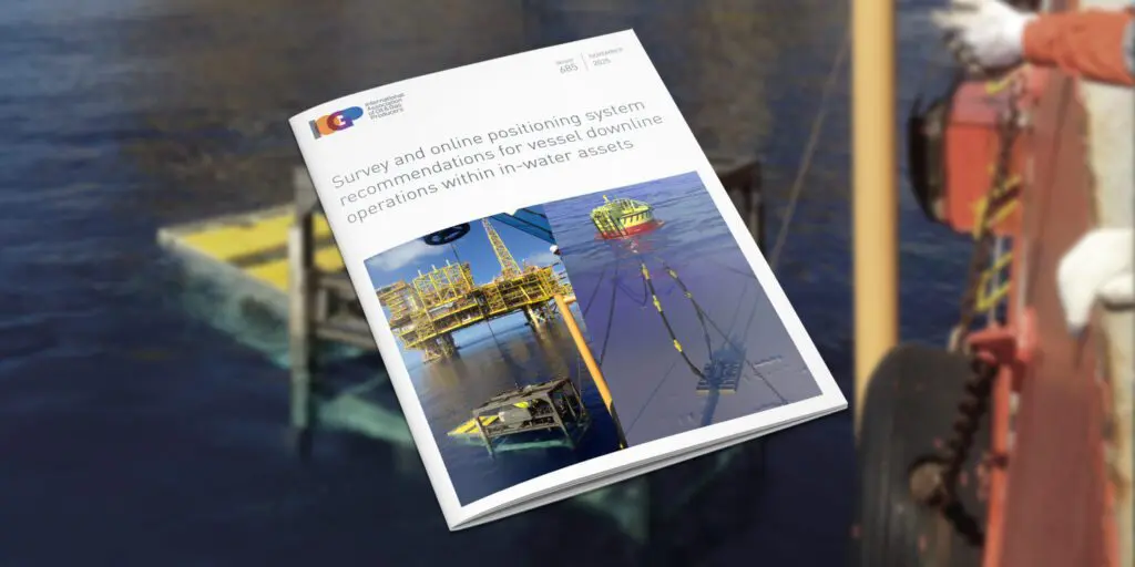
The IOGP Geomatics Committee is hosting a webinar briefing to introduce its newly released guideline, ‘Survey and online positioning system recommendations for vessel downline operations within in-water assets’.

The IOGP Geomatics Committee would like to receive industry feedback on its Land Survey Data Model (LSDM).
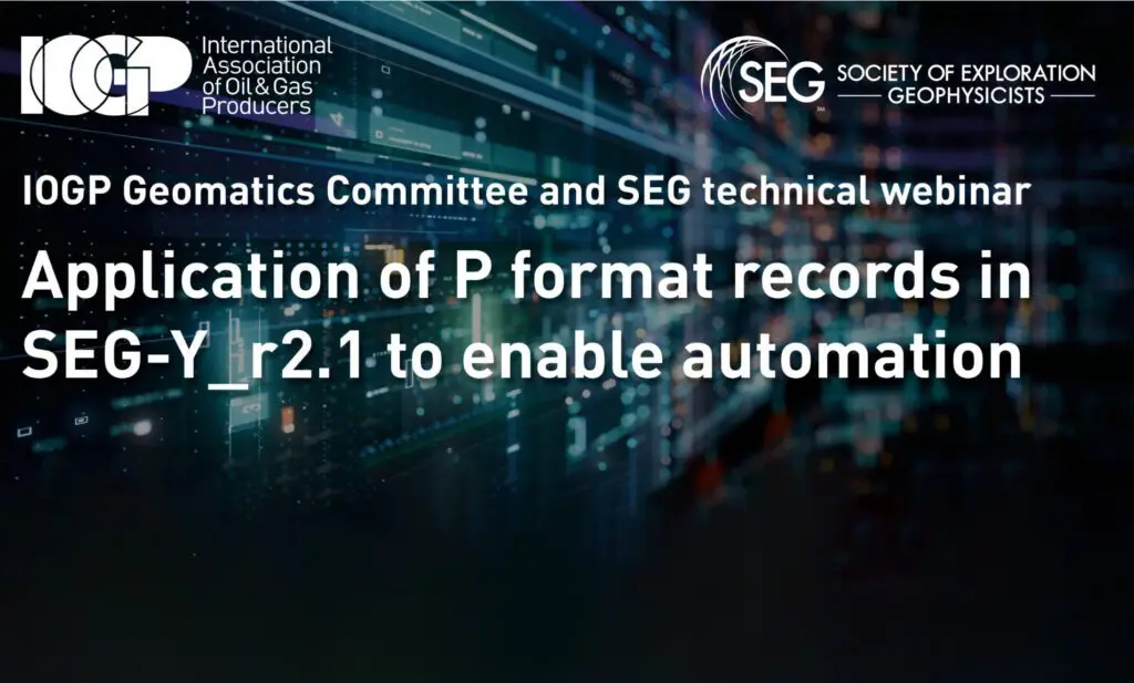
IOGP and SEG gathered 80+ experts to discuss seismic data standards, including SEG-Y Rev 2.1 and IOGP P-formats.
IOGP’s 14th Geomatics Industry Day – an online event – is scheduled for 9th December 2025
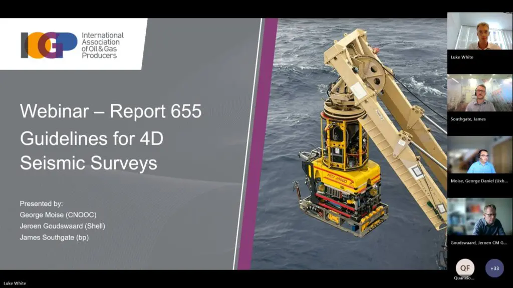
The IOGP Geomatics Committee recently held a webinar on the recently released Report 655 – Guidelines for 4D Seismic Surveys.

On February 27, 2025, the IOGP’s Geomatics Committee’s Remote Sensing Subcommittee held a Members-Only workshop on the applications of remote sensing in environmental solutions.
Efficiency and standardization continue to be key watchwords for the industry as it strives ever harder to deliver low-carbon, safe, and efficient energy sources to the world.

This recent Geomatics Committee publication aims to provide a voluntary standardized approach for the determination of depth or height from seawater pressure observations, a subject for which there is currently no industry-wide technical specification.

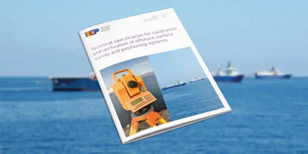
IOGP has released IOGP Report 624-02-01 – Technical specification for calibration and verification of offshore surface survey and positioning systems.
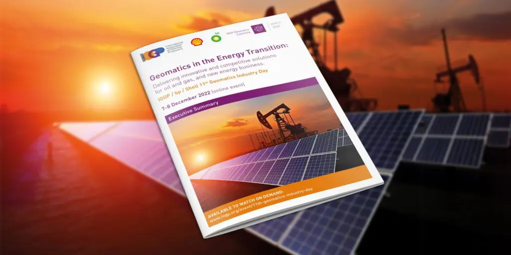
The IOGP Geomatics 11th Industry Day, co-hosted by IOGP, bp, and Shell, highlighted the importance of the geomatics discipline in an ever-evolving industry.
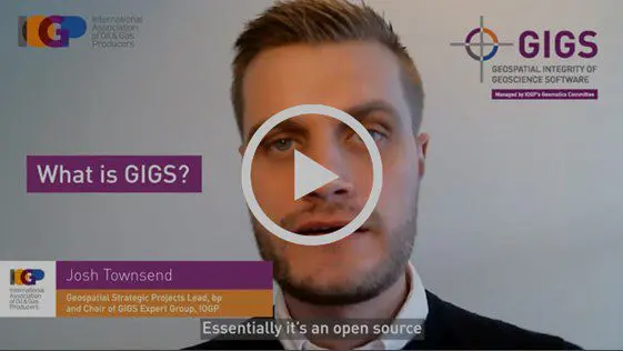
IOGP interviewed Josh Townsend, Chair of IOGP’s GIGS Expert Group, about the GIGS project, its benefits to industry, and its success to date.
(London) IOGP’s Land Survey Data Model (LSDM) is available now. This release continues IOGP Geomatics Committee practice of maintaining an ‘out-of-the-box’ data model template to manage survey data within a geodatabase.
Topographic and other features mapped during land surveys in oil and gas exploration and production are currently collected in a variety of file types and formats.

This year’s IOGP Geomatics Industry Day will focus on the role that Geomatics plays in the energy transition through delivery of cost competitive and operational efficiency and management of HSSE risks and geospatial data solutions as enablers for existing oil and gas and future energy business.

The IOGP Geomatics Committee welcomes Zurinah Yen Puasa of Shell, Vice Chair of IOGP’s Geomatics Committee, as the new Chair. Her experience and knowledge of the industry will help drive growth and give geomatics more influence as we move into the energy transition. We caught up with her to find out more about her experience, this role, and how she plans to help grow geomatics contributions to the industry.

The Geomatics Committee is inviting feedback to better understand the value of the P Formats and Seabed Survey Data Model to its users and IOGP Members. The deadline for responses to both surveys is May 15th – please use the links below if you’d like to participate.
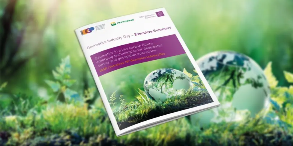
The pivotal role of geomatics in achieving the energy transition was underlined at the IOGP/Petrobras 10th Geomatics Industry Day held on 7-8 December, 2021.
In December, IOGP’s 10th Geomatics Industry Day, organized jointly with Petrobras, attracted over 150 attendees who learned how this discipline is contributing to the energy transition.
The 2021 IOGP / Petrobras 10th Geomatics Industry Day will explore emerging technologies for deepwater survey and geospatial operations, in a low carbon future. It takes place on December 7th-8th.

IOGP has published a new digital GIGS framework.
The energy industry is increasingly aligned with climate action and environmental goals to reduce carbon emissions and the drive to ‘net zero’. Geomatics has a strong part to play in this arena across a multitude of activities.
(London) Efficiency and standardization continue to be key watchwords for the industry as it recovers from the Corona virus epidemic and strives ever-harder to deliver safer, low cost and lower carbon energy sources to the world.
The updated ‘Guidelines for GNSS Positioning in the Oil and Gas Industry’ has been released by the International Association of Oil & Gas Producers (IOGP) as IOGP Report 373-19 and the International Marine Contractors Association (IMCA) as IMCA S 015.

Lucyna (Lucy) Kryla-Straszewska, IOGP Geomatics and Metocean Manager, describes the work of the Geomatics Committee
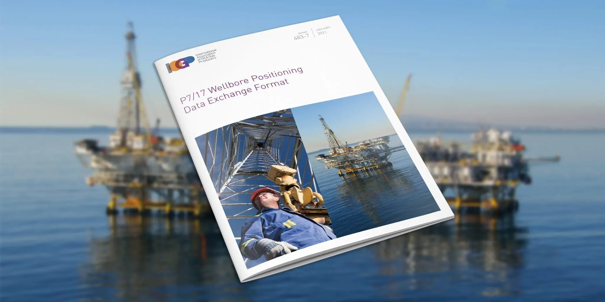
IOGP releases new P7/17 wellbore positioning data exchange format

On the 3rd and 5th November 2020, the Geomatics Committee has delivered two webinars dedicated to IOGP P6/11 Exchange Format. This industry standard is designed for 3D seismic bin grid
The Geomatics Committee is driving improved efficiency in the industry, through common standards for geospatial data management, visualisation & analytics, and in the simplification of survey and positioning operations. This
Spatially-aware applications are at the forefront of the digitalisation revolution, providing the energy industry with new revenue and value-producing opportunities. Geomatics is at the heart of facilitating this revolution and

The ocean is our planet’s largest ecosystem. It stabilizes climate, stores carbon, produces oxygen, nurtures unimaginable biodiversity, and directly supports human wellbeing through food, mineral, and energy resources, as well as providing cultural and recreational opportunities. Unfortunately, much of the ocean is now seriously degraded, and as a responsible sea user, IOGP is working to help the industry play its role as part of the solution.
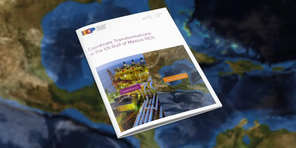
The new Geomatics Committee Guidance Note 26 (IOGP Report 373-26) describes the recommended practice for the use of coordinate reference systems (CRSs) and coordinate transformations (CTs) between CRSs for the US Gulf of Mexico Outer Continental Shelf (GoM OCS).

IOGP’s Geomatics Committee has elected Frederic Auger of Total as Chair. He succeeds Walter Jardine of BP, who is now serving as a vice-chair.

An upgraded EPSG Geodetic Registry platform could soon describe dynamic coordinate reference systems and derived CRSs which may be used for defining seismic bin grids.
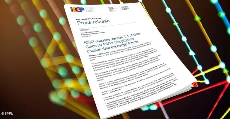
The International Association of Oil and Gas Producers (IOGP) has released version 1.1 of its User Guide for the P1/11 Geophysical position data exchange format.
Throughout, Roel has “stood out as a man of vision and technical aptitude,” says Subcommittee Chairman, Roger Lott. “During his time on the Subcommittee Roel has been instrumental in the

Standardization continues to be a top priority for the Association, supporting improvements in safety, reliability and the integrity of industry operations globally.
IOGP has published an update to the Guidelines, reflecting feedback on use of the original document from regulators from around the world, IOGP member companies, contractors, verification bodies and consultants.
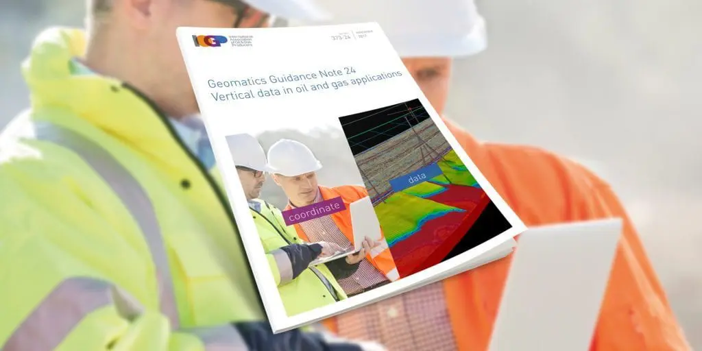
IOGP has released the Geomatics Guidance Note 24 (IOGP Report Number: 373-24), Vertical Data in Oil and Gas Applications.
Richard Wylde and Sigrid Matthes, representing the IOGP Geomatics Committee, delivered two breakout sessions on recent developments in Geomatics standards at this year’s National Data Repository (NDR2017), held at the Norwegian Petroleum Directorate offices in Stavanger, Norway.

The 7th IOGP Industry Day, organised jointly with Statoil at their offices in Stavanger, welcomed some 80 participants representing more than 50 different organisations.
IOGP’s Geomatics Committee is one of the Association’s most active. What exactly does it do, and why does it matter? To find out, Highlights decided to get to the bottom
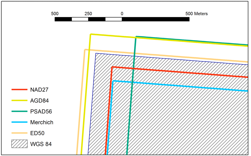
It is very important for Operators to have an accurate and unequivocal definition of their exploration and operating licence boundaries. This certainty properly defines the commitment area, supports unitisation agreements
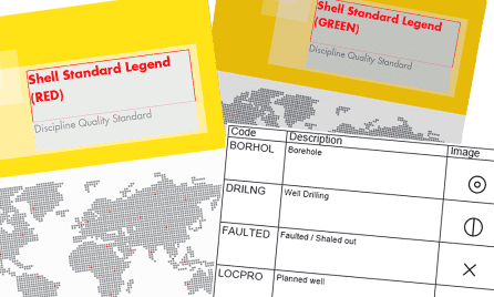
Shell has recently released an updated version of their Shell Standard Legend. The revised version includes new pipeline symbology and an additional symbol set in support of Urban Planning, as


Walter Jardine, BP’s Survey & Positioning Authority, is the new Chair of IOGP’s Geomatics Committee. He previously chaired the Geophysical Operations Subcommittee. Walter has 30 years’ industry experience in providing
In the interests of greater efficiency, lower costs and enhanced reach, IOGP’s Geomatics Committee held its first webinar on 10 March, hosted by Walter Jardine, chair of the Geophysical Operations
Some 100 Geomatics experts gathered in Aberdeen last month for an Industry Day devoted to innovation, efficiency and standardization initiatives. IOGP’s Geomatics Committee collaborated with the International Marine Contractors Association

In the interests of greater efficiency, lower costs and enhanced reach, IOGP’s Geomatics Committee held its first webinar on 10 March, hosted by Walter Jardine, chair of the Geophysical Operations
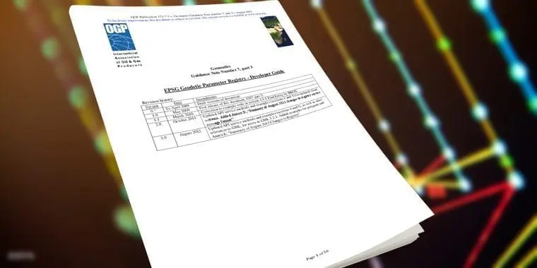
IOGP has published a revision of IOGP 373-7-3 – Geomatics Guidance Note Number 7, part 3, a multi-part document for users of the EPSG Dataset. Part 3 – the Registry
This April, Aberdeen’s E&P professionals will get a chance to learn about the latest trends in Geomatics at a Geomatics Industry Day, hosted by Shell. The one-day event will take

The IOGP Seabed Survey Data Model Task Force would like to receive industry feedback on SSDM v1. The results will be used to guide development of SSDM v2. If you
In October, IOGP’s Geomatics Committee will be in Houston as part of an industry outreach event for oil and gas industry geomatics professionals and others with an interest in the

In support of the recent upgrade to version V1.1 of the OGP P1/11 and OGP P2/11 position data exchange formats the IOGP Geophysical Operations Subcommittee has published two sample files.
The International Association of Oil and Gas Producers (IOGP) has released version 1.1 of its P1 and P2 geophysical position data exchange formats. Originally released in 2012 to replace the
OGP’s 2014 Geomatics Industry Day will be organised jointly by the Association’s Geomatics Committee and Woodside Energy Ltd. This one-day outreach event will take place at Woodside’s headquarters in Perth, Western

A group of geomatics and well bore positioning specialists is aiming to provide a new format for well bore survey data exchange. The requirement for a format that fully meets
Since its publication in April 2011, the Seabed Survey Data Model (SSDM) Version 1 has become the de facto industry standard for delivering seabed survey data in geographic information system

Image: Participants of the Geomatics Committee’s workshop on geomatic and geodetic challenges in southern Iraq In November, geomatics managers representing eleven oil and gas companies met in Istanbul, Turkey, to
Geomatics Committee gathered in Rio de Janeiro on 21 and 22 October for their biannual committee meeting, hosted by Petrobras, at the company’s CENPES R&D center. This was followed by
OGP’s Geomatics Committee has recently released the P6 Geographic Information Systems (GIS) Data Model to supplement the OGP P6/11 Seismic bin grid data exchange format published in 2012. Since the

Sigrid Matthes is the new Vice Chair of the Geomatics Committee. She joins Chair Palle Jensen in leading the Committees efforts to promote the discipline within the industry. Sigrid says

The Geomatics Committee’s Chair, Palle Jensen of Maersk Oil, is leading the Committee’s efforts within the Geomatics discipline to the benefit of the OGP members and the upstream industr. Palle
OGP’s Geomatics Committee, chaired by Palle Juul Jensen, has recently published a guideline for the delivery of seabed survey data in GIS format in compliance with the OGP Seabed Survey
OGP’s Geomatics Committee has recently produced a revised version of its Guidelines for the conduct of offshore drilling hazard site surveys (Report No 373-18-1). Published in May 2013, the updated

The Management Committee’s recent meeting at OGP’s London offices provided the opportunity to commemorate the efforts of the Geomatics Committee Chair, Richard Wylde, on the occasion of his retirement from
Recent publications
ETRS89 in the EPSG Dataset
This Guidance Note explains how ETRS89 regional and national realizations are available in the EPSG Dataset, in particular related to naming conventions and use of…

IOGP Report 373-07-2 – Coordinate conversions and transformation including formulas
This document provides a detailed explanation of formulas necessary for executing coordinate conversions and transformations using the coordinate operation methods supported in the EPSG dataset.…
Technical Flash – GNSS interference, jamming and spoofing: definition, detection, and defence
The document provides definitions of natural GNSS interference, and intentional jamming, and spoofing. The post Technical Flash – GNSS interference, jamming and spoofing: definition, detection,…
IOGP Geomatics Data Models Overview
This document provides an overview of the Seabed Survey Data Model (SSDM), the Land Survey Data Model (LSDM), and the Offshore Infrastructure Survey Data Model…
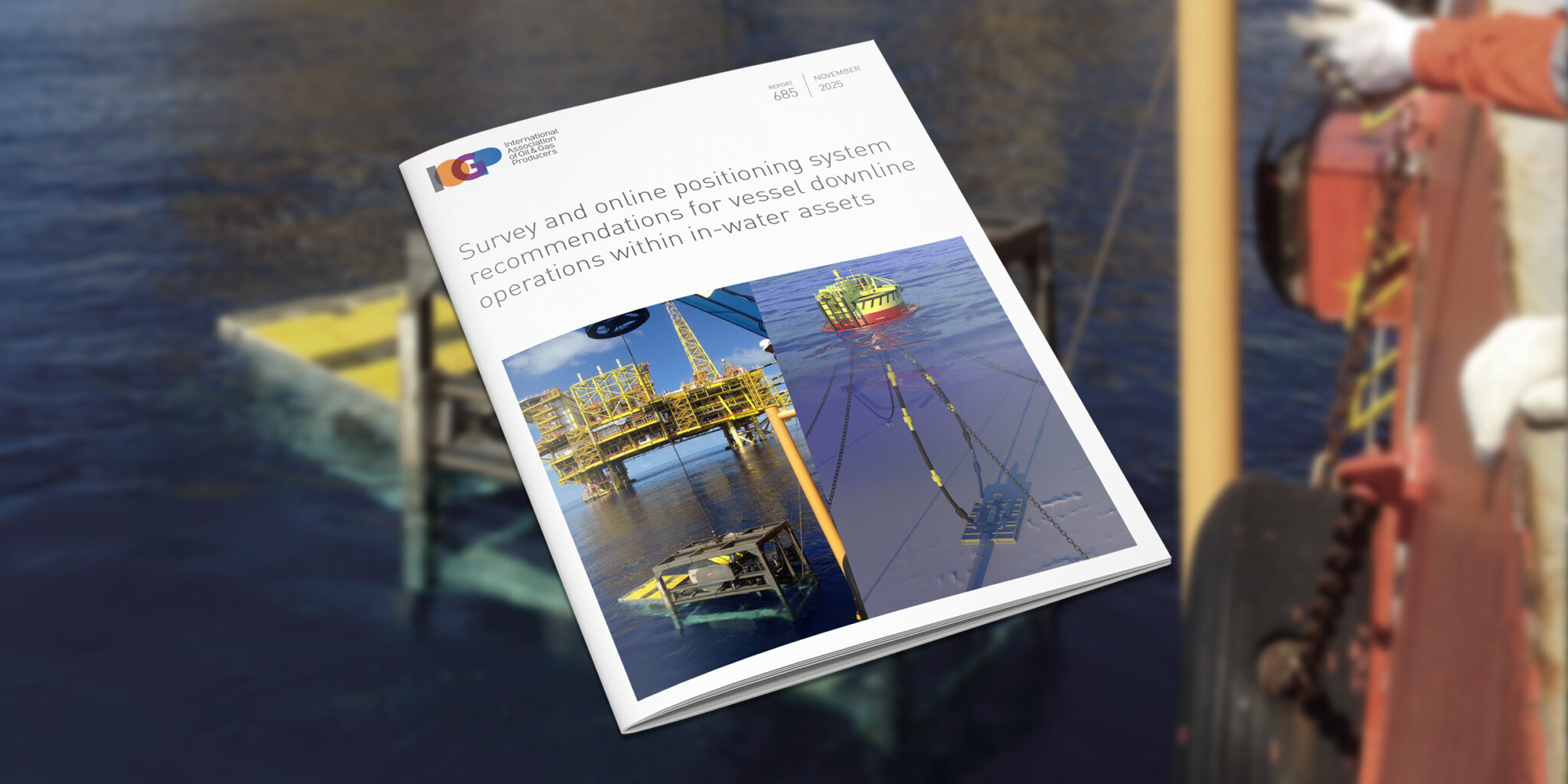
Survey and online positioning system recommendations for vessel downline operations within in-water assets
This document provides global common industry guidance and recommended practices to reduce the risk of a collision or entanglement between a vessel downline and in-water…

Flyer – Guidelines for the conduct of offshore drilling hazard site surveys
IOGP Report 373-18-1 – Guidelines for the conduct of offshore drilling hazard site surveys and its supporting IOGP Report 373-18-2 – Conduct of offshore drilling…
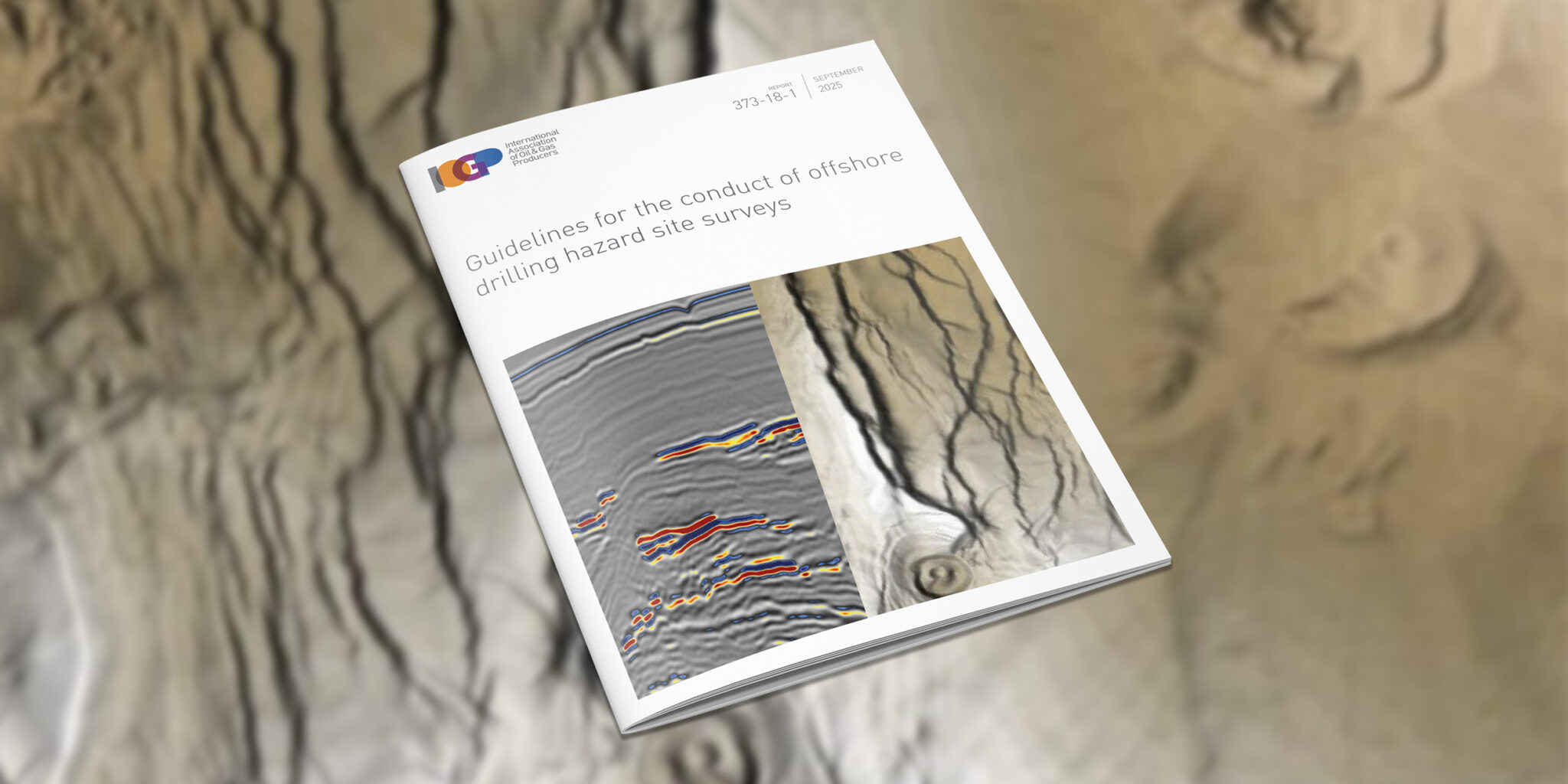
Guidelines for the conduct of offshore drilling hazard site surveys
This Report provides guidance for the conduct of offshore drilling hazard site surveys (hereafter referred to as ‘site surveys’) to support the safe delivery of…
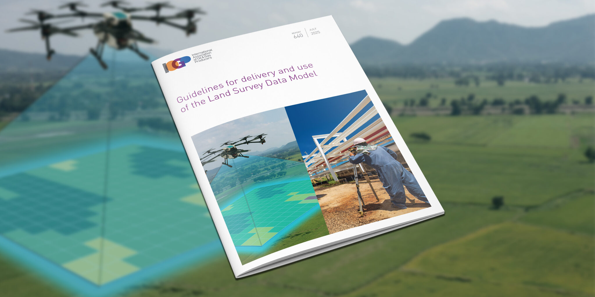
Land Survey Data Model package (template and guidelines)
The post Land Survey Data Model package (template and guidelines) appeared first on IOGP Publications library.

IOGP P1/11 geophysical position data exchange format – user guide
This Report is the user guide for version 2.0 of IOGP’s P1/11 format technical specification. Although generally relevant to earlier versions of the format, it…

Grid convergence
The post Grid convergence appeared first on IOGP Publications library.

IOGP has released version 2.0 of its P6/11 Seismic bin grid data exchange format technical specification (IOGP Report 483-6).
IOGP has published version 2.0 of the P1/11 and P2/11 formats.

IOGP’s Offshore Infrastructure Survey Data Model (OISDM) is now available.
Efficiency and standardization continue to be key watchwords for the industry as it strives ever harder to deliver low-carbon, safe, and efficient energy sources to the world.
This recent Geomatics Committee publication aims to provide a voluntary standardized approach for the determination of depth or height from seawater pressure observations, a subject for which there is currently no industry-wide technical specification.
(London) IOGP’s Land Survey Data Model (LSDM) is available now. This release continues IOGP Geomatics Committee practice of maintaining an ‘out-of-the-box’ data model template to manage survey data within a geodatabase.
(London) Efficiency and standardization continue to be key watchwords for the industry as it recovers from the Corona virus epidemic and strives ever-harder to deliver safer, low cost and lower carbon energy sources to the world.
The updated ‘Guidelines for GNSS Positioning in the Oil and Gas Industry’ has been released by the International Association of Oil & Gas Producers (IOGP) as IOGP Report 373-19 and the International Marine Contractors Association (IMCA) as IMCA S 015.
The International Association of Oil and Gas Producers (IOGP) has released version 1.1 of its User Guide for the P1/11 Geophysical position data exchange format.
Standardization continues to be a top priority for the Association, supporting improvements in safety, reliability and the integrity of industry operations globally.
IOGP has published an update to the Guidelines, reflecting feedback on use of the original document from regulators from around the world, IOGP member companies, contractors, verification bodies and consultants.
IOGP has released the Geomatics Guidance Note 24 (IOGP Report Number: 373-24), Vertical Data in Oil and Gas Applications.
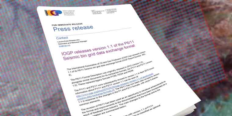
(London) The International Association of Oil and Gas Producers (IOGP) has released version 1.1 of its P6/11 Seismic bin grid data exchange format (IOGP Report Number: 483-6). The P6/11 Format
(London) The IOGP Geomatics Committee’s Seabed Survey Data Model (SSDM) Task Force has completed SSDM version 2 incorporating industry feedback received since the release of SSDM version 1 in April 2011.

(London) A properly-conducted drilling hazard site survey for an offshore drilling location is essential to minimise the risk of harm to personnel and equipment and to protect the natural environment.

The International Association of Oil and Gas Producers (IOGP) has released version 1.1 of its P1 and P2 geophysical position data exchange formats. Originally released in 2012 to replace the

The International Association of Oil & Gas Producers (IOGP) has announced an upgrade to its EPSG online registry of geodetic parameters www.epsg-registry.org. The online registry now includes the facility to

The OGP Geomatics Committee’s Seabed Survey Data Model (SSDM) Task Force has published SeabedML, the Open Geospatial Consortium (OGC) Geography Markup Language (GML) Application Schema for SSDM version 1. OGC
The International Association of Oil and Gas Producers has set up a new body with the goal of increasing the industry’s use of Earth satellite and airborne imagery, a key