

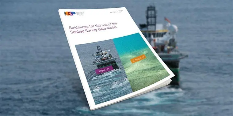
Guidelines for the use of the Seabed Survey Data Model

IOGP Report 462-1

Get detailed descriptions of the Seabed Survey Data Model (SSDM)

somdn_product_page

Download FREE!

To download today, just enter your name and email address! (We will only contact you if you check the Subscribe box)

IOGP Members can also access all publications via the library in the Members Area

Having trouble downloading a report? Let us know.

SKU: 462-01 Category: Tag:

Description

Get detailed descriptions of the Seabed Survey Data Model (SSDM)

This technical guidance note describes the Seabed Survey Data Model version 2 (SSDM V2), a specification used in the oil and gas exploration and production industry in handling the delivery of various seabed survey datasets in GIS data format.

The SSDM models survey project details (extents, equipment coverage, tracklines et.), hydrographical, shallow geophysical and geotechnical geographical entities and attributes. It includes surface and subsurface geological hazards that are interpreted from seabed survey data.

Additional information

Document type

Report

Publication Date

2012

Asset Group

Geomatics

Asset Status

Active

Asset Subgroup

Data Model – SSDM

Content Type

Publication

External Library

ASTM

Language Code

en-US

Page Count

16

Topic

SSDM